Swarm Exploration Group

Holodeck
Credit:

DLR / Enno Kapitza

DownloadDownload

The swarm exploration group is working intensively on the development and testing of autonomous exploration algorithms for swarms of several robots. The aim of the work is in particular the efficient and cooperative detection of surrounding areas without direct human interaction.

The Group's work focuses primarily on the following challenges:

    • development of new algorithms and methods for exploration with multi-agent systems and robotic swarms, and
    • the testing and validation of these algorithms under realistic conditions with existing robotic systems.

Methodologically, the algorithms for swarm exploration are largely based on modern methods of signal processing, estimation theory and inference, as well as machine learning methods over networks, with the aim to address the following key research questions:

    • Where does the new swarm need to collect measurement data?
    • How to efficiently and cooperatively process the collected data to better understand the explored process?
    • What are the optimal robot trajectories?

A range of laboratory equipment is used to validate the developed algorithms. For indoor experiments, for example, the "Holodeck" laboratory is used, which allows very precise localization of robots thanks to a Vicon® tracking system. Also, diverse outdoor locations can be used for experiments. The research group currently has 6 hexacopters, 10 quadrocopters and 6 rovers equipped at their disposal. The robots can be flexibly equipped with different sensors and mini-PCs to test the developed algorithms.

Gas Source Localization with a Robotic Swarm

In the swarm exploration group we are working on algorithms that enable autonomous robots to localize gas sources. By taking samples of the gas concentration in the environment the robots are able to infer the sources.

Our approach can be applied in technical accident or disaster response scenarios, where toxic or explosive material is leaking. In such cases localizing the sources is of high interest and relevant to safety. However, for civil protection agencies searching for toxic gas leaks in an already contaminated environment implies threats for human operators. Thus, employing robotic platforms in those scenarios might be beneficial with respect to safety aspects. Moreover, robots with a certain level of autonomy simplify the work of a human operator, as compared to just teleoperated platforms. An autonomous robot can instantaneously interpret the collected data and decide based on them on its own.

However, autonomous robots in general lack of expert knowledge that would be implied in human operated mission. To bridge this gab, in our work we assist the robotic system by domain knowledge that is a-priori available about the environment to be explored. For example, the physical phenomenon of gas dispersion is well known and can be modeled mathematically.
In our studies swarm systems aided by such mathematical model of the gas dispersion process are able to localize the gas sources faster with fewer measurements compared to a system without this knowledge.

Multi-Agent SLAM algorithms

In unknown environments, e.g., in space or underground, no external positioning system like the Global Positioning System (GPS) is available. Mobile robots, exploring those environments, need to localize themselves only with their on-board sensors. Localization without any prior knowledge of the environment is difficult. To navigate safely through the environment, the robot needs to create a map of the area. Moreover, this map is necessary for the detection of unvisited areas. To create a precise map of the environment, the robot needs a good position estimate. On the downside, a precise map is used to improve the localization. The robot needs to estimate its position while mapping the environment. This problem is known as the Simultaneously Localization And Mapping (SLAM) problem.
    
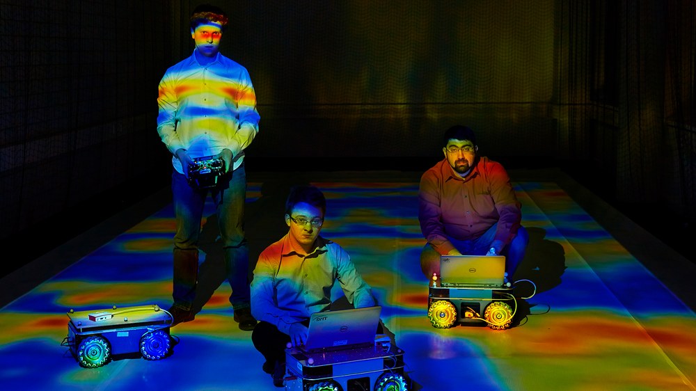
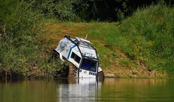
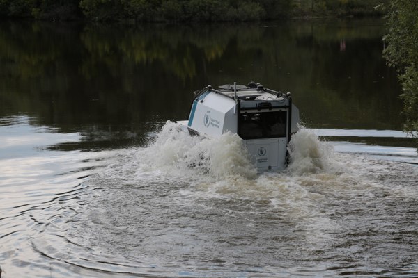
For the experiments conducted in our group, mobile robotic platforms equipped with laser sensors are employed to perform SLAM while exploring unknown environments. For real-world experiments, we are using holonomic mobile robots. Holonomic means that the robot is able to drive in every direction, including sideways. Our robots are equipped with a three-dimensional LiDAR sensor which provides point cloud measurements of 360°. A map is created out of the point cloud information which is then used by the robotic platform for navigation and exploration purposes.

SLAM itself acts as a passive component and does not give an answer how to choose the next action and movement to minimize errors in estimates of the variables. Combining SLAM with an active component is named integrated exploration.

Integrated exploration is responsible for computing and evaluating utility of further actions that minimize the localization, mapping and process estimation error. For choosing future actions it is important to find a trade-off between exploration (discovering new areas to extend knowledge about the static process and the map) and exploitation (revisiting previous areas to minimize the localization error introduced by motion).

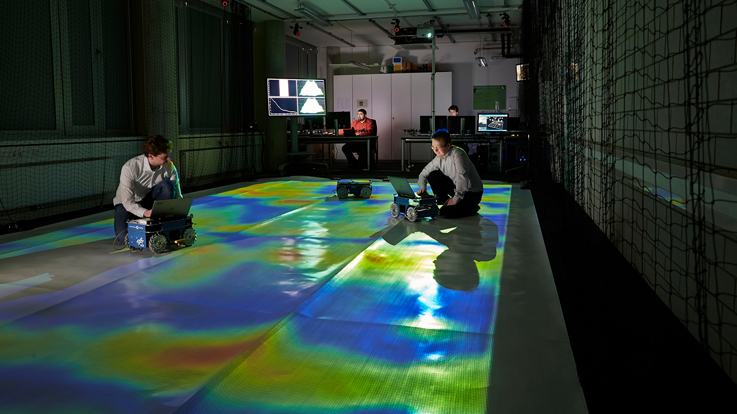
Furthermore, we are interested in exploring physical phenomena in the unknown areas (spatial processes such as magnetic field intensity, temperature, ozone concentrate, etc.). Therefore, we combine multiple objectives: map coverage, maintaining localization uncertainty and decrease in process error in respect to the ground truth.

Seismic exploration with robotic swarms

The geophysical quantification of subsurfaces is a highly relevant topic in planetary exploration tasks. In particular, the Martian subsurface plays a major target since until now it remains mostly unexplored. More detailed quantification of the Martian subsurface will shed light on the question of life existence beyond Earth. Therefore, we aim at the development of a system that enables a subsurface exploration in an autonomous fashion. For its realization we use a swarm of multiple agents that acts as an intelligent network and explores the subsurface in a distributed and cooperative manner. Each agent acquires seismic data and cooperates with neighboring agents in order to obtain an image of the subsurface covered by the swarm. Furthermore, exploration strategies will be developed that direct the agents to new acquisition positions in order to improve the subsurface image.
For the development phase we investigate the following techniques:

  • Reflection/refraction seismology
  • Full waveform inversion/seismic tomography
  • Deep learning based seismic inversion

We examine these techniques with regard to a distributed implementation in a multi-agent network and develop corresponding algorithmic solutions. The developed algorithms will be tested in real experiments for seismic exploration tasks.

Swarm Exploration with Reinforcement Learning

Nowadays approaches to accomplish exploration tasks exploit a model that describes the environment and process of interest. This setup works fine as long as the model describes them precisely. In case the environment or the process changes, a new model has to be built and the algorithm must be adapted to it. This increases the effort required to develop algorithms for novel exploration tasks.

The Swarm Exploration group is developing machine learning algorithms that enable a swarm of robots to learn how to carry out complex exploration tasks. In particular, we focus here on model-free deep reinforcement learning (Deep-RL) approaches, which do not require a model of the environment and process of interest. RL algorithms are a family of algorithms that permit an agent to learn how to behave by interacting with the environment. This is done through a reward signal, which encodes how well the agent is performing. Hence, the aim of a RL agent is to learn a policy so as to maximize the expected future reward.

Model-free RL has been shown to offer outstanding results for a wide variety of tasks. Nevertheless, there are many applications for which a model of the process of interest has been well studied. This is the case, e.g., in one of our applications of interest: gas source localization. In gas source localization, partial differential equations have been proven to model the gas dispersion very accurately. Therefore, one of the questions that we also address in our research is: how can we introduce domain knowledge -- a model -- of a physical process in RL to solve an exploration task?

We developed a framework – DeepIG – that allows multiple robots to learn how to accomplish complex exploration tasks using Deep RL. In particular, our focus lies on terrain mapping, wildfire monitoring, and gas source localization tasks.

Links and more information