
Signals and System Performance Group

The working group Signals and System Performance focuses on the design of new signals and modulation schemes for future generations of global navigation satellite systems (GNSSs) as well as on the analysis of the quality and the performance of existing GNSSs.
Reliable and safe navigation has become an integral part of our lives today. Hundreds of applications use satellite navigation. Especially for safety-critical applications such as aircraft landings with visibility up to 0 meters, it is important to monitor the reliability and quality of the navigation signals, to detect errors promptly, and to make this information available to users.
Zuverlässige Navigation ist aus unserem heutigen Leben nicht mehr wegzudenken. Hunderte von Anwendungen benutzen Satellitennavigation bis hin zu sicherheitskritischen Anwendungen wie Flugzeuglandungen bei Sichtweiten bis zu 0 Metern. In diesem Zusammenhang ist es besonders wichtig die Zuverlässigkeit und Qualität der Navigationssignale zu überwachen und Fehler zeitnah zu detektieren und diese Informationen den Anwendungen zur Verfügung zu stellen.
Monitoring
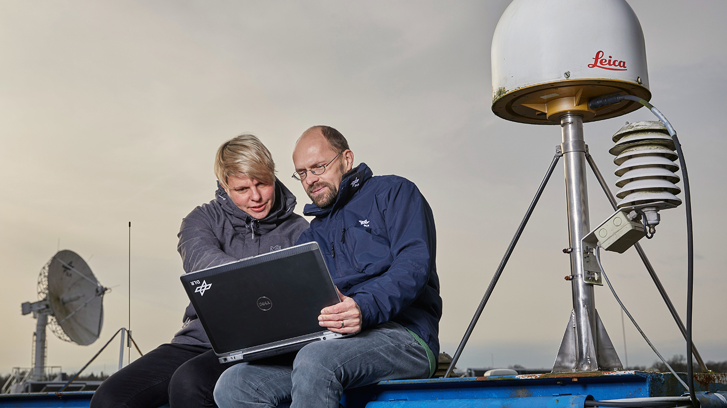
For this reason, a system for monitoring satellite signals is currently being set up at DLR, which should be able to determine the current performance of the satellite systems as well as to detect deviations from the nominal condition (also called anomalies) of the satellites used, to analyze them and, if necessary, to distribute warnings. The monitoring is based on data from worldwide GNSS receiver networks. For this purpose, the DLR operates its own worldwide ground station networks (EVNet, Congo) in order to make it available as a reliable data source. Furthermore, data from other receiver networks, such as IGS (“International GNSS Service”), are also used for signal monitoring purposes.
These activities are strongly linked to the work on establishing the European navigation system Galileo, but other GNSSs like GPS, Glonass and BeiDou are also included in the monitoring system.
When evaluating the performance at the system level, so-called key performance indicators (KPIs) are calculated, which provide information about the positioning, navigation and timing quality of the system. Furthermore, extended metrics are processed, that contain additional information about the quality of the signals, as well as propagation path which are of interest also for secondary users of GNSS, like earth observation applications. This information is not only profitable for the user, but can also serve as a basis for characterizing the system and its components. In this context for instance one can use the on ground measured C/No in combination with the position of the satellite and user to reconstruct and consequently validate the antenna radiation pattern of the satellite.
Bei der Auswertung der Performanz auf Systemebene werden sowohl sogenannte Schlüssel-Indikatoren (engl. „Key Performance Indicators“ KPIs) berechnet, als auch erweiterte Metriken, die zusätzliche Informationen über die Qualität der Signale für den Nutzer beinhalten. Diese Informationen sind nicht nur gewinnbringend für den Nutzer, sondern können auch als Basis dienen das System und dessen Komponenten zu charakterisieren. In diesem Zusammenhang kann man z.B. die am Boden ermittelte Empfangsleistung in Kombination mit der Position von Satellit und Beobachter dazu nutzen, um das Antennenstrahlungsdiagramm der Satellitenantenne zu rekonstruieren und damit zu validieren.
One of the main group activities is currently the development of an autonomous anomaly detection tool that employs machine learning algorithms, which should be able to detect and characterize abnormal navigation signals as well as navigation data/messages.
Signal Analysis & Verification
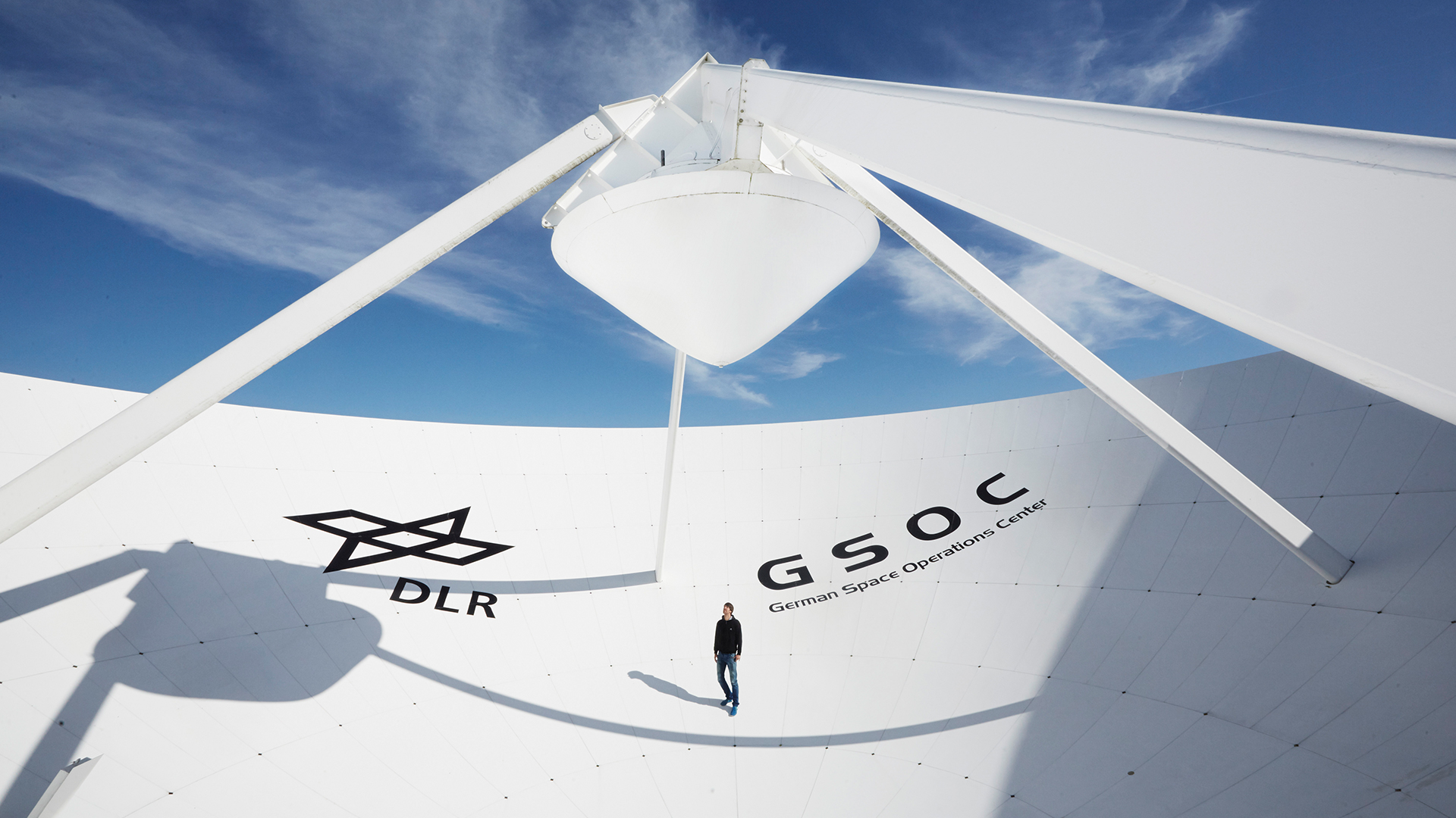
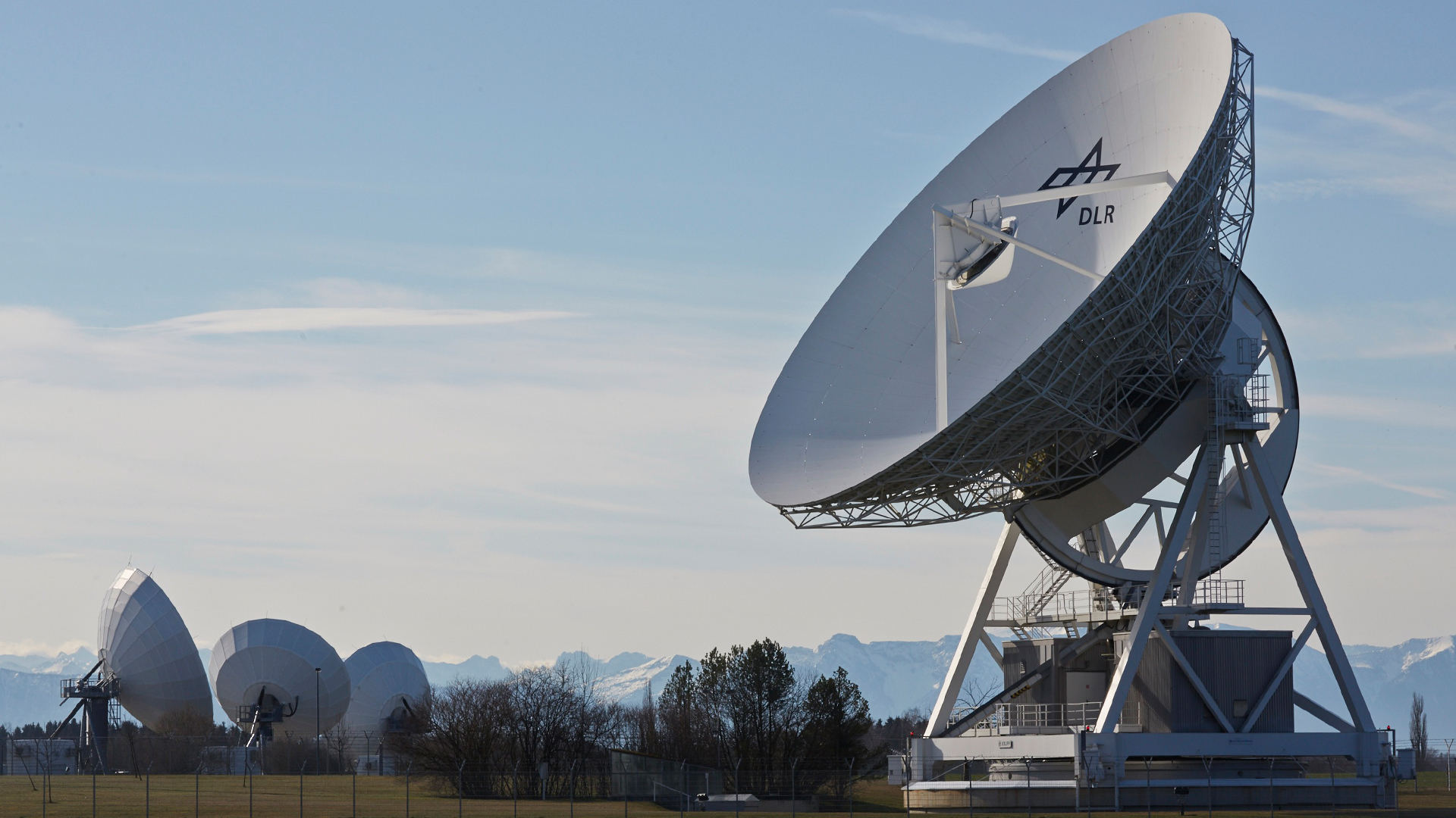
Another focus of the group is the verification and high-precision analysis of the signal quality of individual navigation satellites, which include also in orbit test (IOT) of new satellites. A key element of the work is the 30m high-gain antenna of the DLR ground station in Weilheim, which is operated by the German Space Operation Center (GSOC). In 2005, the Institute for Communication and Navigation equipped the large antenna with a new, state-of-the-art measuring system and has been continuously investigating satellites from global navigation systems such as GPS, GLONASS and COMPASS / BeiDou. The DLR also supports ESA in the development and installation of the European satellite navigation system Galileo.
In addition, we support the Augmentation Systems working group in the modeling of errors that have occurred in the satellite signals in the past and the assessment of their effects on the users or applications.
Signal design
In addition to the permanent analysis of the quality and performance of satellites in orbit and entire constellations, we are also working on visions for the future. For this reason, we are developing new signal designs to further improve the usability of satellite navigation and to make its applications more precise, faster, more reliable and safer.
As the interface of space segment and user segment, a navigation signal must perform numerous tasks, while being transmitted only with the power of a light bulb. To achieve synchronization accuracy of few nanometers and high data rates, wideband signals need to be used. Using mathematical methods of detection theory and estimation theory, optimal signals and new modulation techniques are developed in order to use the valuable resources power and bandwidth efficiently. At the same time, constraints such as backward compatibility, or robustness of the signals from theory against nuisances such as multipath propagation or receiver group delays, have to be satisfied. To bring all these objectives in line is the job of signal design for GNSS.
Als Schnittstelle zwischen Satellitensegment und Endnutzer muss ein Navigationssignal zahlreiche Anforderungen erfüllen, darf dabei aber nur etwa mit der Leistung einer Glühbirne vom Satelliten abgestrahlt werden. Um dennoch Synchronisationsgenauigkeit von wenigen Nanosekunden und hohe Datenraten zu erzielen, sind vor allem breitbandige Signale erforderlich. Mit Hilfe mathematischer Methoden der Detektions- und Schätztheorie werden optimale Signale und neuartige Modulationstechniken entwickelt, um die kostbaren Ressourcen Leistung und Bandbreite möglichst effizient zu nutzen. Dabei müssen auch Randbedingungen eingehalten werden wie Abwärtskompatibilität, oder Robustheit der in der Theorie entworfenen Signale gegen Störeinflüsse wie Mehrwegeausbreitung oder Empfängergruppenlaufzeit. Diese Vielzahl an Zielvorgaben in Einklang zu bringen, ist Aufgabe des Signaldesign für GNSS.
Overview of the current group activities:
- Development and operation of measurement systems for satellite navigation
- Monitoring and analysis of the performance of satellite navigation systems
- Measurement and high accurate characterization of the satellite payloads using high gain antennas
- Design and analysis of new signals and modulation schemes for future generations of navigation systems
- Analysis of the impact of interferences on satellite navigation
- Support of projects and applications of secondary use of GNSS like earth observation and remote sensing


