Benefits & corporate culture
The Earth Observation Center (EOC) is the competence center for earth observation in Germany.
We receive satellite data, design new missions, develop methods for analyzing the diverse data, test earth observation applications in practice and provide a basis for decision-making for business, politics and science.
The EOC is an institute network consisting of the Remote Sensing Technology Institute and the German Remote Sensing Data Center.
Earth Observation Center (EOC)
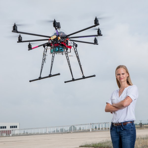
The Earth Observation Center (EOC) offers an opportunity to work at the intersection of technology, science, and environmental protection. Join us to expand your understanding of our planet's complex ecosystems and help develop new applications to protect life and natural resources.
You will find an interdisciplinary work environment with colleagues from fields such as geoinformatics, environmental sciences, engineering, and data analysis. Broaden your experience by collaborating with international teams on projects worldwide. Benefit from DLR's unique expertise in Earth observation, ranging from satellite reception through facilities in the Arctic and Antarctic to the development of new evaluation methods, mass data analysis on high-performance clusters, and user testing of applications both at home and abroad. Your work at the EOC can significantly impact lives around the globe. Help make global change visible and measurable, and prepare people for its consequences on the economy, agriculture, and society.
In detail, you might be involved in:
- Receiving, processing, archiving, ordering, and distributing satellite data
- Long-term preservation of mission data
- Planning, analyzing, designing, implementing, and operating data processors
- Creating user-specific data access and processing environments
- Developing, creating, and analyzing earth observation products related to global change, climate, planning, health, and civil security
- Utilizing AI for mass data processing
- Creating environmental and crisis information systems
- Supporting federal and EU authorities, international users, and the International Charter on Space and Major Disasters
- Providing and operating optical sensor systems for aircraft remote sensing, including preparation, calibration, and validation of satellite sensors and data
- Operating optical reference and calibration laboratories
- Designing imaging, spectrometric, hyperspectral sensor systems, and SAR missions