
December 31, 2004
ZKI satellite mapping supports international humanitarian relief teams in Southeast Asia
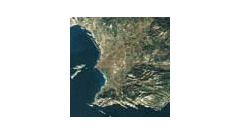
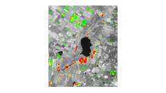
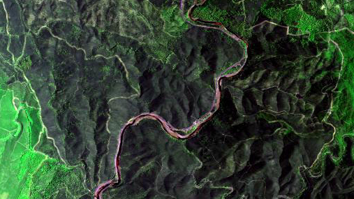
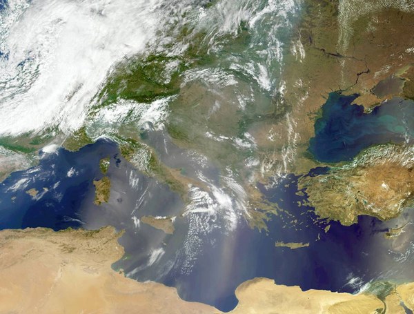
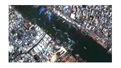
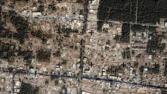
Together with its partners, DLR is creating base maps and up-to-date mapping of the regions affected by the tsunami wave in Southeast Asia. The maps, which are based on current and archive images, are made available to the Federal Foreign Office, the German Red Cross, the German Federal Agency for Technical Relief and other organizations via the Internet. The maps help aid workers to find their way on site and during search and rescue missions. DLR's German Remote Sensing Data Center (DFD) specializes in the rapid provision of satellite maps in the event of a crisis and has already produced maps for natural disasters and humanitarian aid operations on several occasions in the past.