
From Map to Field: Water Retention with EO4CAM
How can municipalities prevent or at least effectively mitigate the often severe consequences of heavy rainfall events? On February 24, 2026, numerous local and regional stakeholders gathered at the town hall of the municipality of Wartmannsroth in the district of Bad Kissingen to discuss this question.


In addition to the mayor of Wartmannsroth, municipal representatives from the municipality and the district of Bad Kissingen, the Bavarian State Forestry Department, the responsible Water Management Authority, the Lower Nature Conservation Authority, the Landscape Conservation Associations, the Bavarian Farmers’ Association Bad Kissingen, the PAN Planning Office for Applied Nature Conservation GmbH, and the Bavarian Administrative Office of the UNESCO Rhön Biosphere Reserve were present.
The Rhön is a pilot region in the EO4CAM project. Here, scientific data and information can be directly applied and tested in practice. For example, the terrain-based analyses conducted as part of EO4CAM at the University of Würzburg. Using digital terrain models, the runoff accumulation is calculated, referring to the accumulation of surface water along a slope profile. Together with the topographic wetness, this reveals potential runoff paths and areas prone to water accumulation. Supplemented by simplified runoff modeling, critical points can be identified where heavy rainfall may lead to increased surface runoff, erosion, or local flooding.
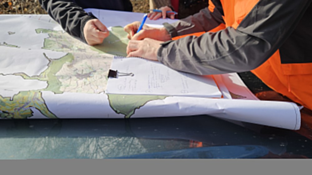
In the subsequent discussion, these data-driven insights were compared with existing plans, known heavy rainfall events, and site knowledge of the participants. A full-day on-site inspection allowed the identified areas to be viewed directly in the field and enabled the group to jointly explore potential measures for water retention in forested and open areas.
The joint site visit and discussions demonstrated how effective the combination of remote sensing, model-based analyses, and local knowledge can be.