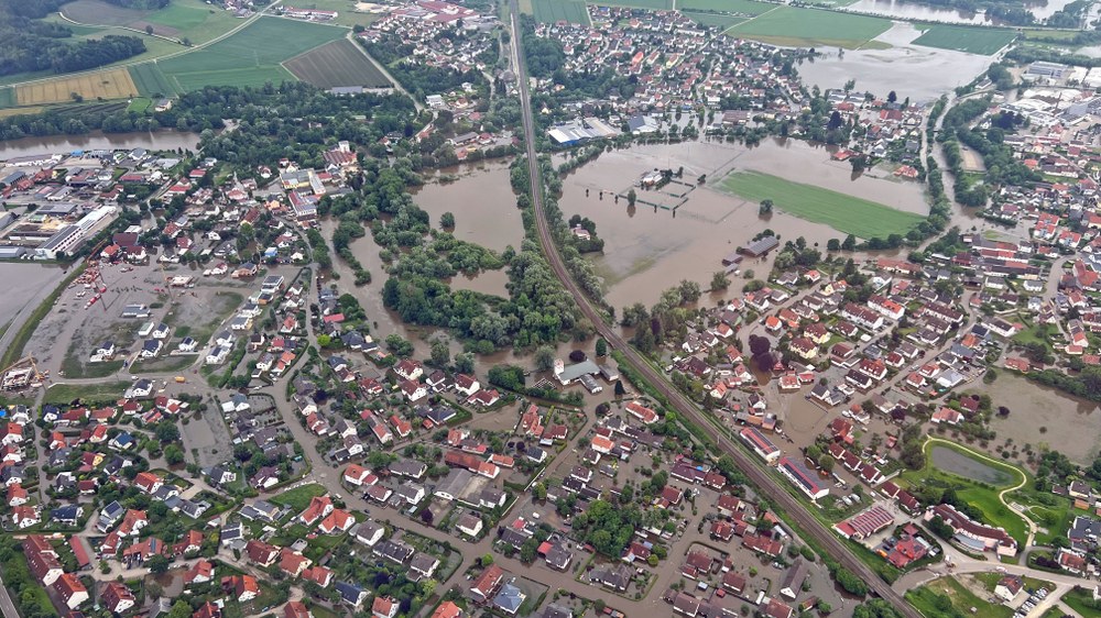
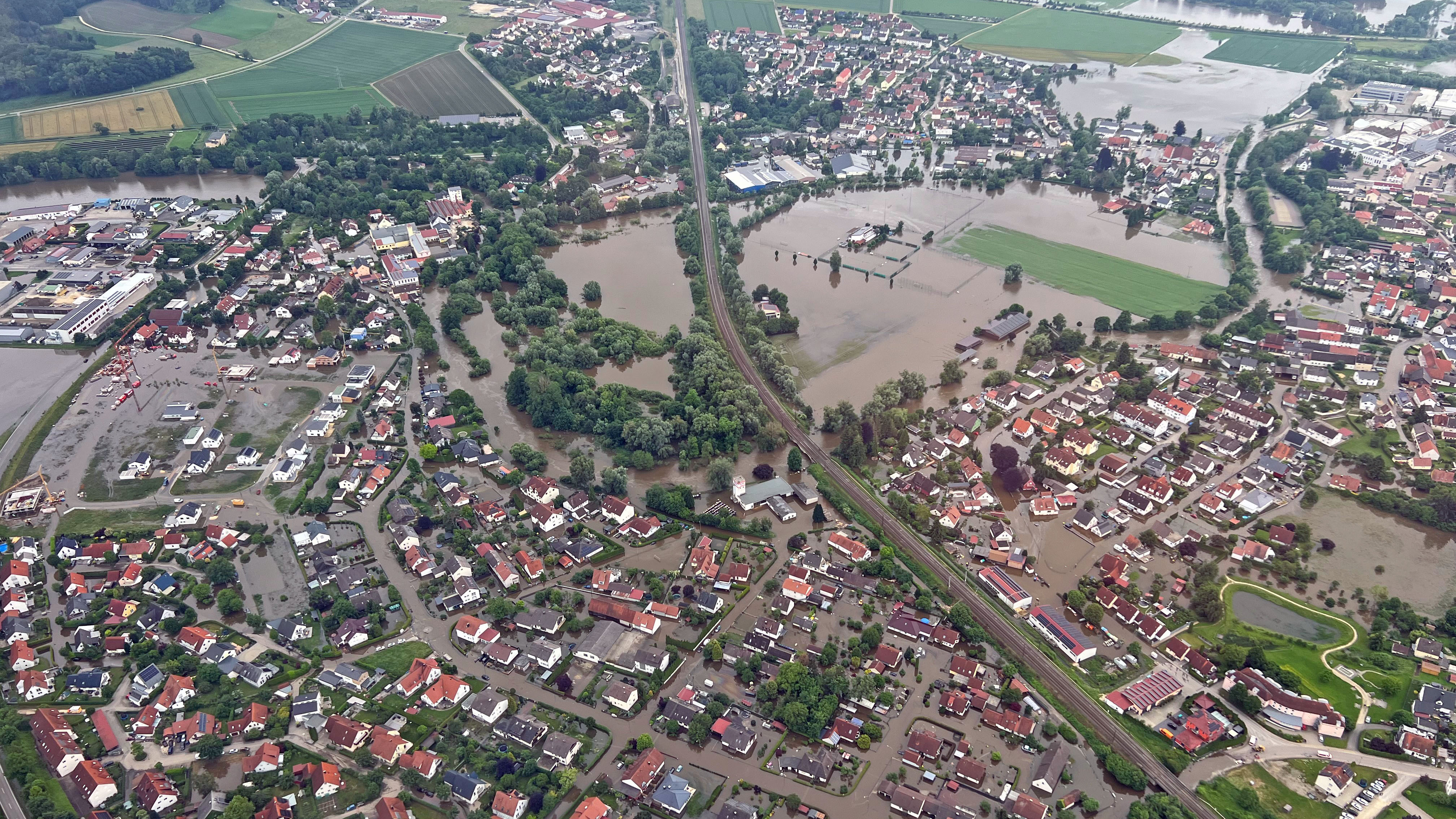
The regions of Swabia and Bavaria were particularly affected by heavy rainfall at the end of May and beginning of June 2024. Among other things, the DLR carried out aerial surveys to provide emergency services with an accurate overview of the current situation and to compile information on the situation. This image was taken from the cockpit and shows the flood situation on 3 June 2024 in Offingen near Günzburg.
Georisks refer to the potential extent of damage resulting from the interaction of natural hazards (spatial distribution, intensity, frequency) with exposed elements (e.g., people, buildings, infrastructure, property) and their vulnerability. EO4CAM focuses on three natural hazards that are of particular significance given Bavaria’s diverse topography: river flooding, heavy rainfall events, and landslides.
Climate change is leading to an increase in the frequency and intensity of heavy rainfall events, as well as higher peak flows in rivers and streams. At the same time, changes in the soil water balance reduce the stability of slopes, thereby increasing their susceptibility to landslides.
Remote sensing data can be used to map and model natural hazards across large areas, as well as to identify regions that are particularly exposed due to natural conditions (e.g., depressions, slopes, and valleys) and anthropogenic influences (e.g., impervious surface coverage). Furthermore, these data enable the reconstruction of past events, providing important insights for future adaptation measures.
The cross-cutting topic of georisks builds on the findings from the topics of agriculture, forestry, and urban areas as a basis for assessing hazard situations. The goal is to first locate at-risk areas in selected pilot regions and, in the long term, to make this information available throughout Bavaria via the EO4CAM data portal as a basis for decision-making by municipal and state authorities.
In close collaboration with local governments and the Environment Agency, the aim is to identify users’ actual information needs and develop tailored products to enable the targeted planning and implementation of climate adaptation measures.