
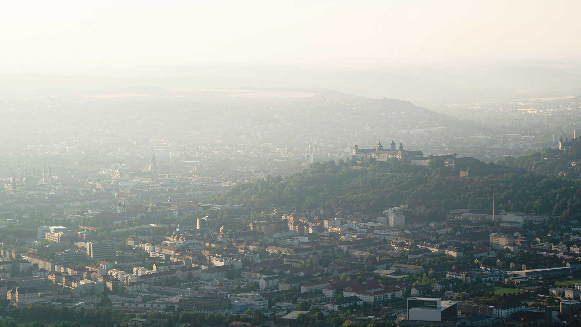
Würzburg
As a historically evolved city characterized by dense urban development, valuable green spaces, and a complex microclimate, Würzburg provides ideal conditions for the monitoring and analysis of urban vegetation and climate. Within this urban pilot region, innovative methods are being developed and tested to detect and map the city’s tree population with tree-level precision. This is achieved using artificial intelligence applied to remote sensing data, enabling the continuous monitoring of changes and the creation of a robust data foundation for urban planning and climate adaptation.
In addition, simulations are being conducted to explore the interactions between vegetation, building structures, and the urban microclimate. These models are designed to support the mitigation of urban heat islands by providing evidence on how green infrastructure or planned construction projects influence local climatic conditions.
Through these efforts, Würzburg is becoming a model region for the integration of advanced analytical methods from environmental research into municipal climate adaptation strategies. The resulting insights contribute to identifying pathways toward sustainable and climate-resilient urban development.

