

German Remote Sensing Data Center
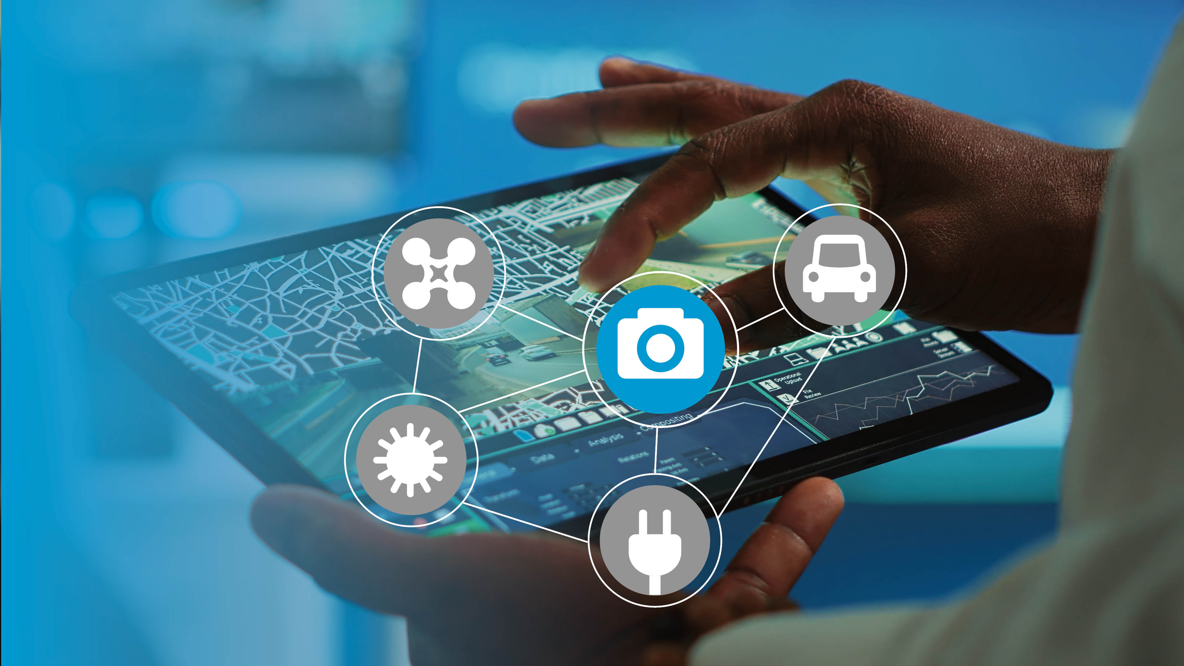
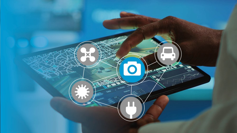
Combines and analyzes geodata from various sources (satellite, aerial and drone imagery, traffic information, authority data, meteorological data, terrain information) for a comprehensive, up-to-date situational picture. Develops automated process chains for the integration, visualization, and evaluation of relevant information. Presents the collected and integrated information in a continuously updated situational picture that can be accessed at any time. Depending on the scenario and use case, different priorities can be set.