Georisks
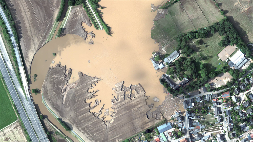
A precise spatiotemporal forecast remains difficult. In particular, heavy rainfall events can cause enormous damage in a short time. To quantify these risks, high-resolution surface runoff modeling is employed. These models can be calibrated and validated using remote sensing products. EO4CAM aims to identify vulnerable areas in selected regions and draw attention to especially at-risk zones through scenario simulations. The project’s findings can thus be used directly as the basis for initiating countermeasures.
The flood risk along rivers and streams can also be assessed and inundation scenarios computed using the same methods. Bavaria’s steep relief and numerous rivers and creeks consistently lead to flood disasters. Therefore, in collaboration with the Bavarian Environment Agency (LfU), the Water Management Office Donauwörth, and the Bavarian State Ministry of the Environment and Consumer Protection (StMUV), EO4CAM is investigating how Earth observation can be applied in this context. To this end, the flood event of May/June 2024 in Bavaria is being analyzed retrospectively. For this analysis, remote sensing data products of the event are systematically collected and structured, then compared with in-situ data such as gauge measurements and photographs. With this retrospective view and the resulting data foundation, it is possible to determine which information products are needed, when, by whom, and with what temporal and spatial coverage for effective crisis management.
Not only floods, but also prolonged droughts have become more frequent due to climate change. These dry periods significantly increase the risk of wildfires in Bavaria’s forests—a trend that is highly likely to intensify further as climate change progresses.
Satellite-based remote sensing enables nationwide near-real-time monitoring of drought conditions. It also allows for the early detection of small-scale fires and the continuous analysis of fire damage. The wide range of modern infrared sensors now enables this type of monitoring with high temporal, spatial, and spectral resolution.
Artificial intelligence, which has long been established in the field of remote sensing, facilitates fully automated information extraction— with an unprecedented level of detail.

