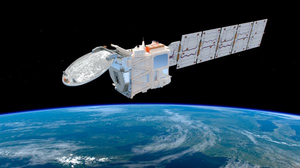
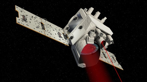
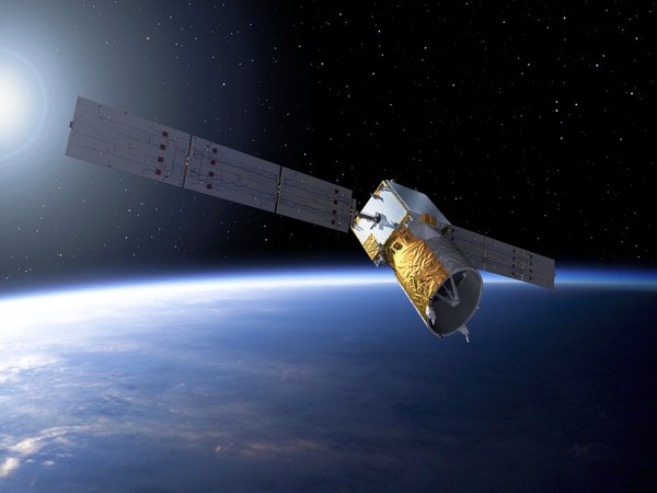
Lidar (LID) Department

The department “Lidar” develops ground-based, airborne and spaceborne lidar systems and applies them for active remote sensing of key meteorological parameters and atmospheric trace gases to facilitate research in weather and climate as well as in air traffic safety.

With their renowned lidar systems, the department takes part in national and international airborne field campaigns dedicated to atmospheric and climate research and contributes to the investigation of the atmosphere from the ground up to the lower thermosphere.

The department has a strong focus on the three European lidar space missions Aeolus, EarthCARE and MERLIN. The department provides the Co-Principle Investigator for MERLIN, and supports lidar missions of the European Space Agency (ESA) through airborne demonstrator experiments, algorithm developments, feasibility studies, and validation after launch.

Research areas are:

  • Measurement of wind and turbulence with Doppler wind lidar (DWL) methods, using coherent and direct-detection systems,
  • Measurement of water vapour and ozone with differential absorption lidar (DIAL) techniques,
  • Measurement of carbon dioxide and methane columns by integrated path differential absorption (IPDA) lidar,
  • Characterization of optical properties of aerosols and clouds through high spectral resolution lidar (HSRL) techniques,
  • Measurements of wind, temperature and gravity waves in the middle atmosphere by means of Rayleigh and resonance lidar,
  • Investigation of synergetic use of lidar and radar techniques to characterize aerosol and cloud properties,
  • Development of detection systems and tunable laser sources for lidar remote sensing

Major instruments in operation or development:

  • The ALADIN Airborne Demonstrator (A2D) for the satellite mission Aeolus, a UV Doppler wind lidar at 355 nanometres wavelength for wind profile measurements,
  • Ground-based and airborne coherent Doppler wind lidar systems at 2 micrometres and 1.6 micrometeres for the measurement of horizontal and vertical wind profiles, water vapour fluxes, and atmospheric wake vortex studies,
  • The direct detection Doppler wind lidar AEROLI with temporally and spatially high resolution wind measurements for aeronautics applications such as gust and wake vortex alleviation,
  • The WALES airborne demonstrator, a multi-wavelength H2O-DIAL at 935 nanometres wavelength with a HSRL system for aerosol characterization and another channel for ozone profiling,
  • CHARM-F, an airborne IPDA lidar system for the measurement of carbon dioxide and methane columns,
  • TELMA and CORAL, ground-based sodium resonance and Rayleigh lidars for measurements of temperature and gravity waves between altitudes of 25 and 100 kilometres,
  • BOLIDE, a mesospheric lidar flying on a stratospheric balloon to measure temperature and gravity waves as well as noctilucent clouds,
  • ALIMA, an airborne combined resonance and Rayleigh lidar for measurements of air and iron density, temperature and wind from the flight altitude up to the lower thermosphere (about 100 kilometres).

Reseach Group

Loading

Links

Downloads

Contact

Dr. rer. nat. Andreas Fix

Head of Department
Institute of Atmospheric Physics
Lidar
Münchner Straße 20, 82234 Oberpfaffenhofen-Wessling