Topographic context map of the northwest of Hellas Planitia


Topographic context map of the northwest of Hellas Planitia
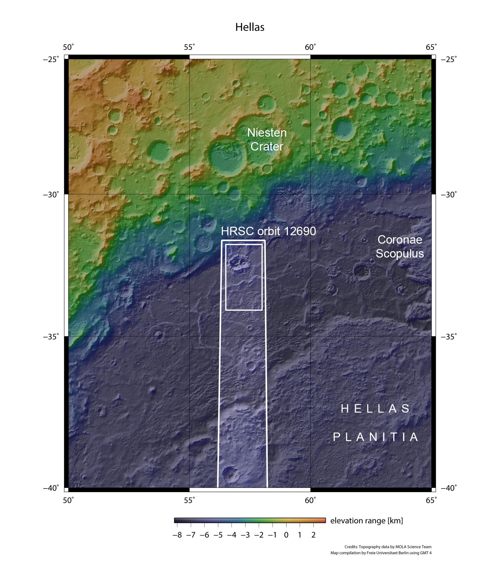
Hellas Planitia is the best preserved and largest known impact basin on Mars. It has a diameter of roughly 2200 kilometres. At its deepest points, the bottom of Hellas is 8000 metres below the level of the Martian southern highlands. The HRSC stereo camera, operated by the DLR on board ESA’s Mars Express spacecraft, imaged the northwest of Hellas in exceptionally good atmospheric conditions on 23 December 2013.