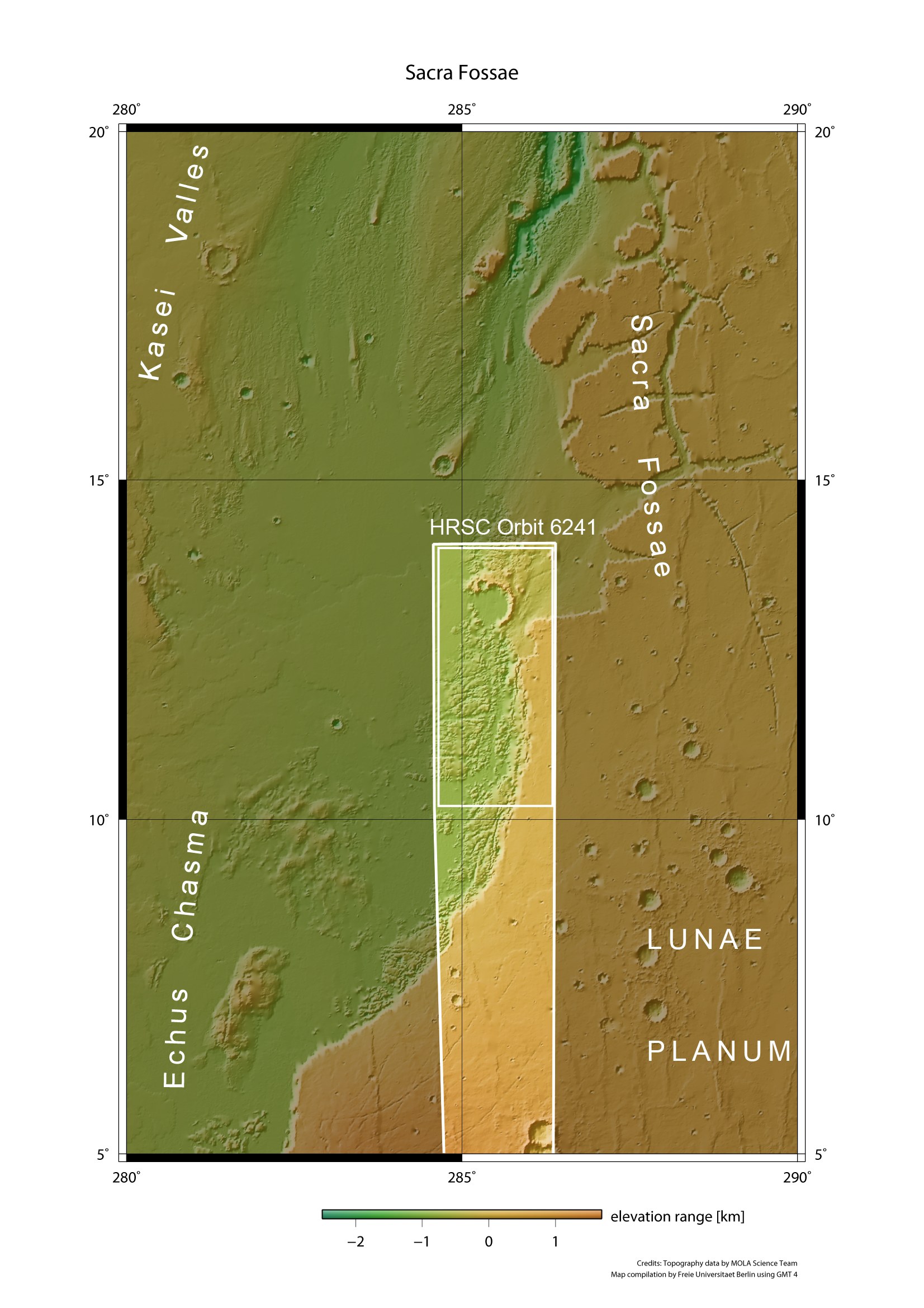
Kasei Valles and Sacra Fossae context map
Kasei Valles and Sacra Fossae context map
Mars Express flew over the boundary between Kasei Valles and Sacra Fossae, and the High-Resolution Stereo Camera (HRSC) operated by the German Aerospace Center (Deutsches Zentrum für Luft- und Raumfahrt; DLR) imaged the region, acquiring spectacular views of the chaotic terrain in the area. The images are centred at 12°N, 285°E and have a ground resolution of about 21 metres per pixel. They cover 225 kilometres by 95 kilometres or 21,375 square kilometres, an area roughly half the size of the Netherlands.

