Topographic overview map of part of Nereidum Montes


Topographic overview map of part of Nereidum Montes
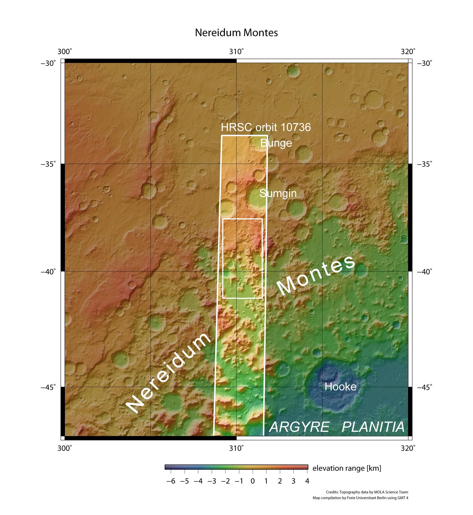
Nereidum Montes, a chain of mountains over 1000 kilometres long, is part of the mountainous northern rim of Argyre Planitia, the second largest impact basin on Mars. On 6 June 2012, the High Resolution Stereo Camera (HRSC) on board ESA's Mars Express spacecraft, which is operated by the German Aerospace Center (Deutsches Zentrum für Luft- und Raumfahrt; DLR), acquired images of a part of this chain of mountains. The images shown in the article come from the small rectangle inside the HRSC image strip.