Topographical context map of a part of the Utopia Planitia region


Topographical context map of a part of the Utopia Planitia region
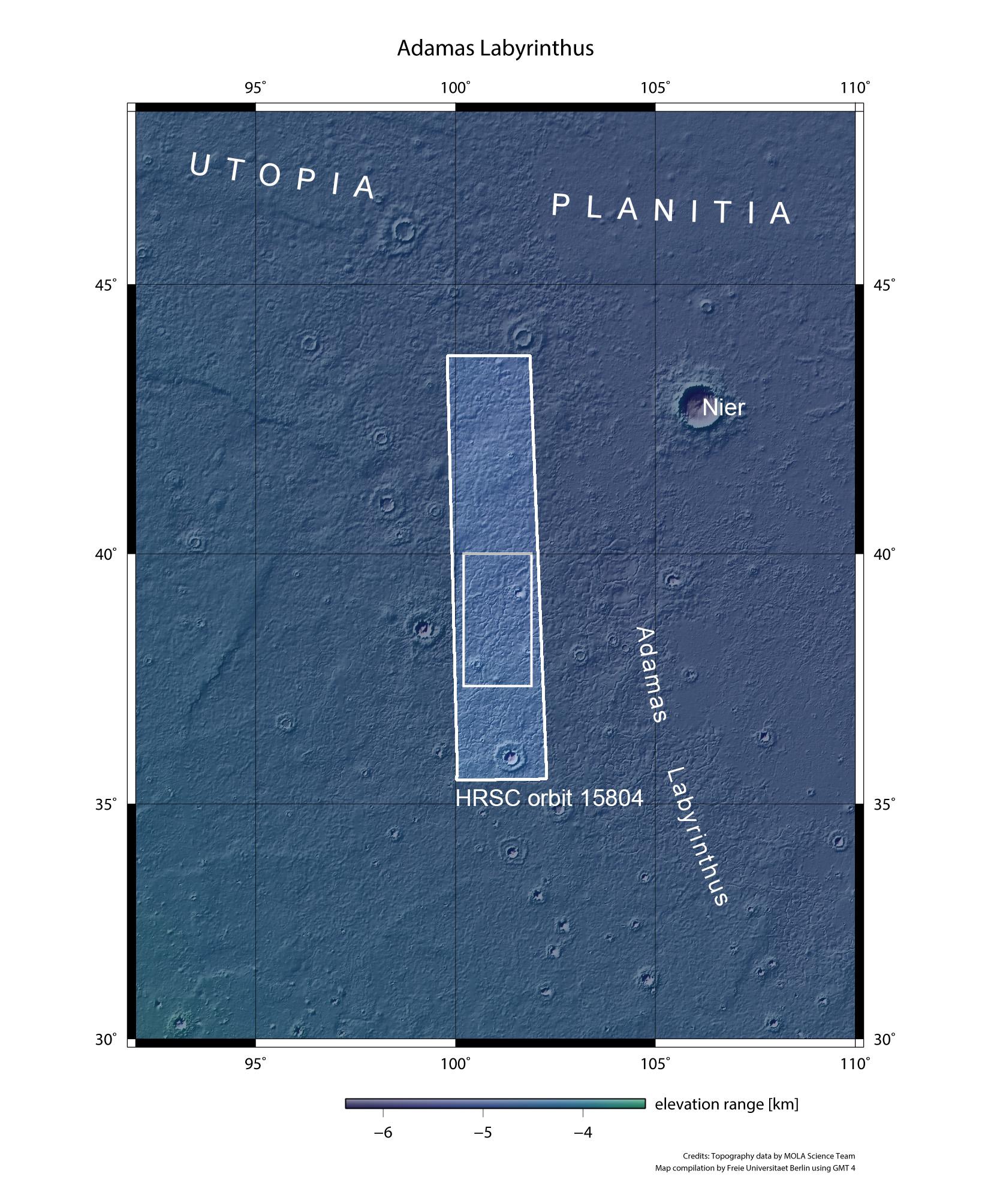
The images were acquired by the High Resolution Stereo Camera (HRSC) during Mars Express Orbit 15,804 on 21 June 2016. The image resolution is 15 metres per pixel. The centre of the image is located at 101 degrees east and 39 degrees north.
The network of huge fractures in the Utopia Planitia region is linked to the past existence of an ocean in the Northern Lowlands of Mars.