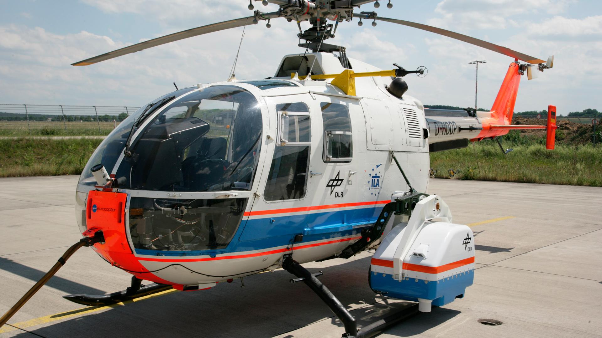
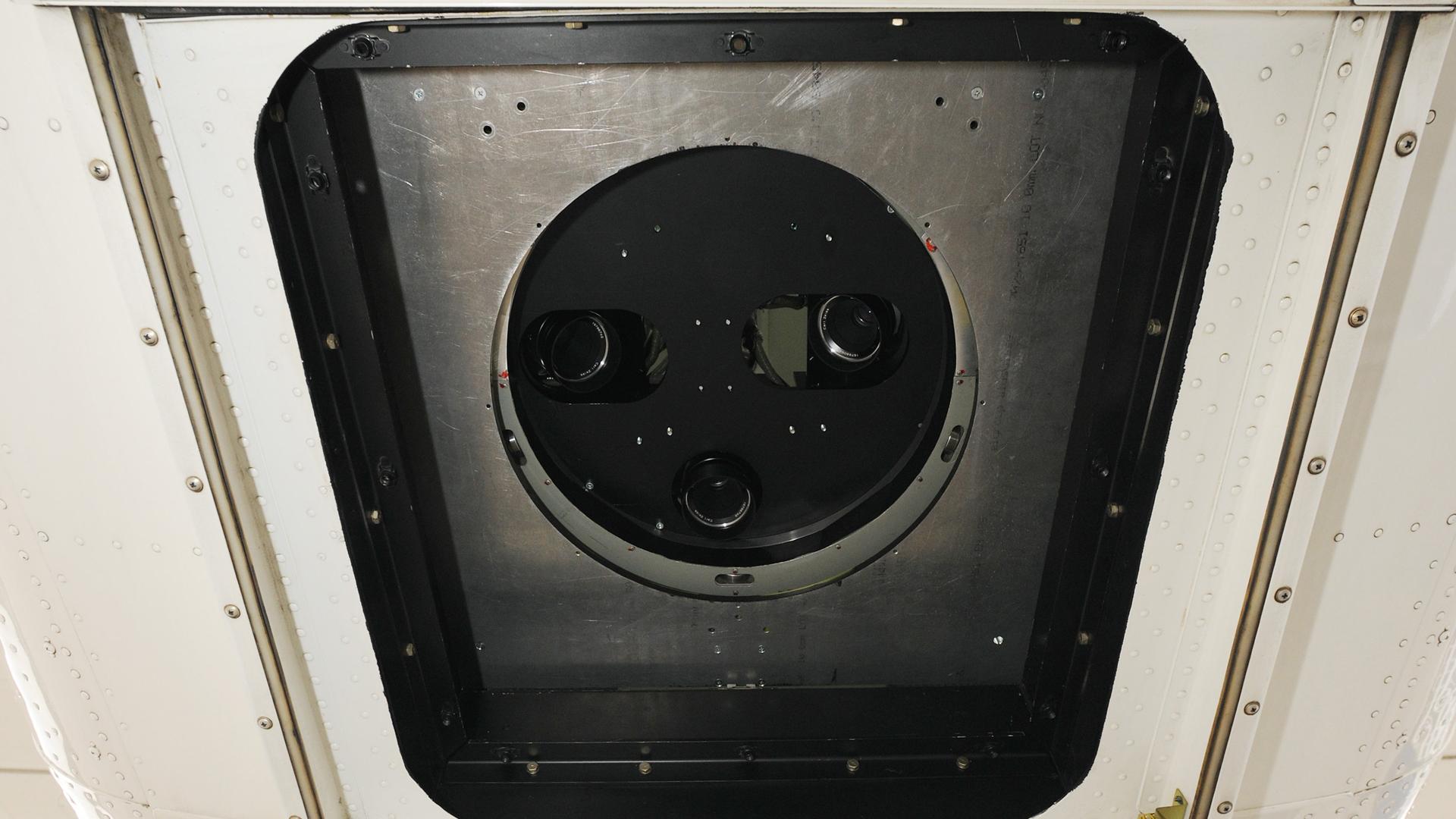
4k sensor system mounted on DLR's BO-105 helicopter
DLR's ARGOS is a real-time airborne optical system for aeronautics and astronautics, used for instantaneous acquisition and transmission of aerial images to a ground station.
The ARGOS airborne optical system of the German Aerospace Center (Deutsches Zentrum für Luft- und Raumfahrt; DLR) acquires aerial images and delivers them in near-real-time to a ground station. Typical applications include traffic and disaster management, for example during major events.
The system is based at Remote Sensing Technology Institute (IMF) in Oberpfaffenhofen. Working in near real-time, ARGOS takes aerial photographs, processes and evaluates them immediately, and transmits them to a mobile ground station. Maps and other large-scale products generated from aerial images are then distributed to end users within seconds.
Aerial images sent to the ground instantly
ARGOS may be used, for example, to capture data relating to people and traffic. In such cases, people or vehicles – including their speed and direction of travel – are automatically detected in aerial images within seconds. The results, are sent to the ground station and made available for further situational analysis.
In addition, three-dimensional terrain elevations are captured in real time using high-resolution aerial images. The facility deploys different DLR aircraft for this task, including fixed-wing aircraft like the Cessna Grand Caravan or Dornier 228, and the BO105 and EC135 helicopters.
The technology has a wide range of applications, from traffic and disaster management to security tasks or applications in the automotive industry. Generally speaking, ARGOS is ideal for situations that require higher resolution images of the Earth's surface than can be obtained by satellites. The system has already been used for this very purpose, acquiring reference datasets in connection with satellite missions.
Contact
Volker Speelmann
Head of Research Infrastructures
German Aerospace Center (DLR)
Executive Board department for Innovation, Transfer and Research Infrastructure


