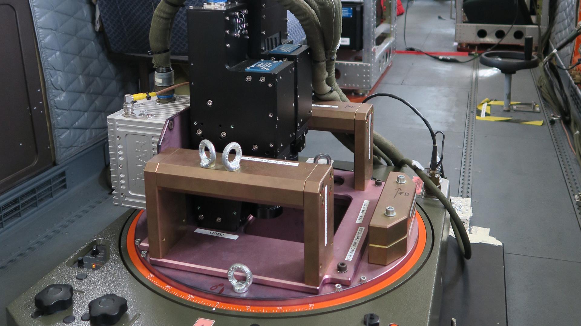
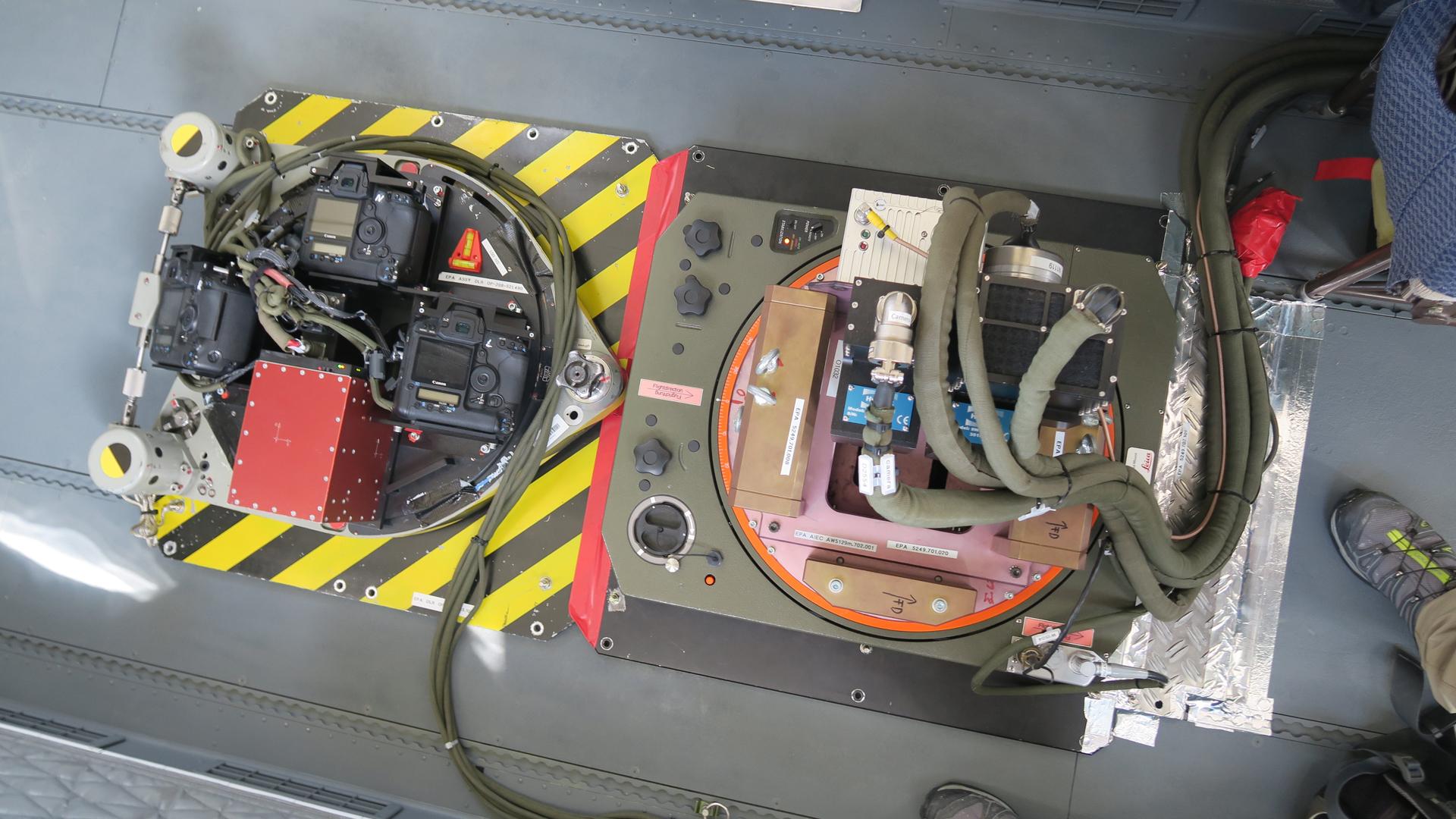
The HySpex hyperspectral sensor is an aircraft-borne imaging spectrometer belonging to the German Aerospace Center (Deutsches Zentrum für Luft- und Raumfahrt; DLR) DLR Remote Sensing Technology Institute (IMF) in Oberpfaffenhofen. Equipped with two pushbroom line scanning cameras, HySpex gathers data with a spatial resolution of less than one metre in the 420–2500 nanometre spectral range. The acquired image data are comparable to aerial image data, but 416 channels are recorded per pixel instead of the usual three channels (red, green and blue).
HySpex aerial images are used primarily to prepare and validate the German Earth observation satellite, EnMAP. Before EnMAP is launched, test data generated by HySpex can be used to develop algorithms for data evaluation. Once EnMAP is in orbit, HySpex data will be used to validate the satellite’s instruments. HySpex data also contributes to the development of algorithms for the next generation of Earth observation satellites and to the development of methods for calibrating optical sensors in the calibration laboratory (Calibration Home Base, CHB) at the Remote Sensing Technology Institute.
High-resolution aerial camera for Earth observation
HySpex measurements are being used to develop new methods for environmental remote sensing. To give a few examples, the health of forests, the quality of inland waters and the fertility of farmland. Combining HySpex with a high-resolution 3K aerial camera system also enables the development of innovative scientific data fusion methods for Earth observation. One such technique, to detect climate-relevant sources of methane, is currently undergoing trials.
Scientists at the Remote Sensing Technology Institute have over 20 years of experience in the development, characterisation and deployment of aircraft-borne imaging spectrometers such as DAIS 7915, ROSIS and HyMap. The OpAiRS user service has been building on this tradition since 2011 with the HySpex system (built by Norsk Elektro Optikk). Following a two-year test phase with extensive validation measurements in the CHB and at Germany's National Metrology Institute, the system has been operational since 2014.
Contact
Volker Speelmann
Head of Research Infrastructures
German Aerospace Center (DLR)
Executive Board department for Innovation, Transfer and Research Infrastructure


