Aerial photograph of the Cordón Caulle area

Aerial photograph of the Cordón Caulle area
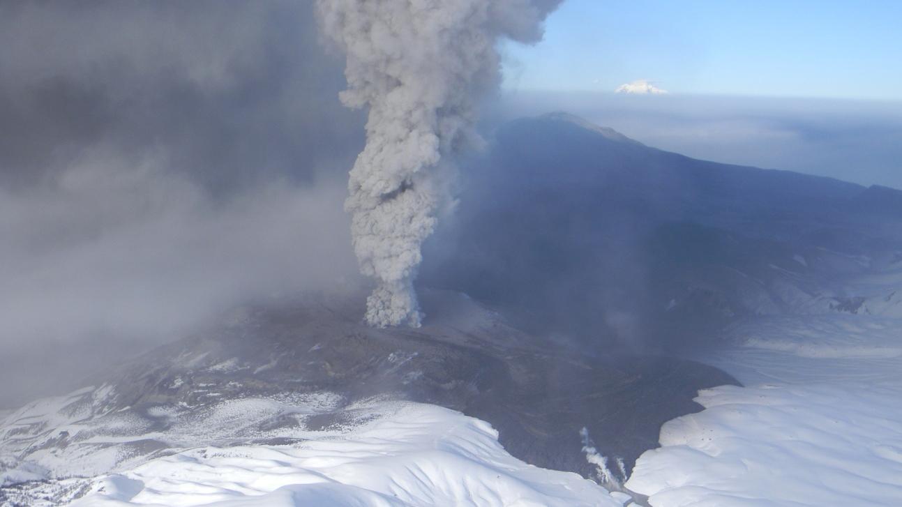
This aerial photo, taken on 20 June 2011 confirmed the precision of the location of the eruption site, just north of the former hot springs Los Baños, calculated using data from TerraSAR-X. Following the eruption, the lava rushed down the slope of the volcano, forming the lava field. Small mud flows, or lahars, are visible at the front of the lava flow, and are formed due to the melting snow. The volcano erupted on 4 June 2011.