Dione
Dione
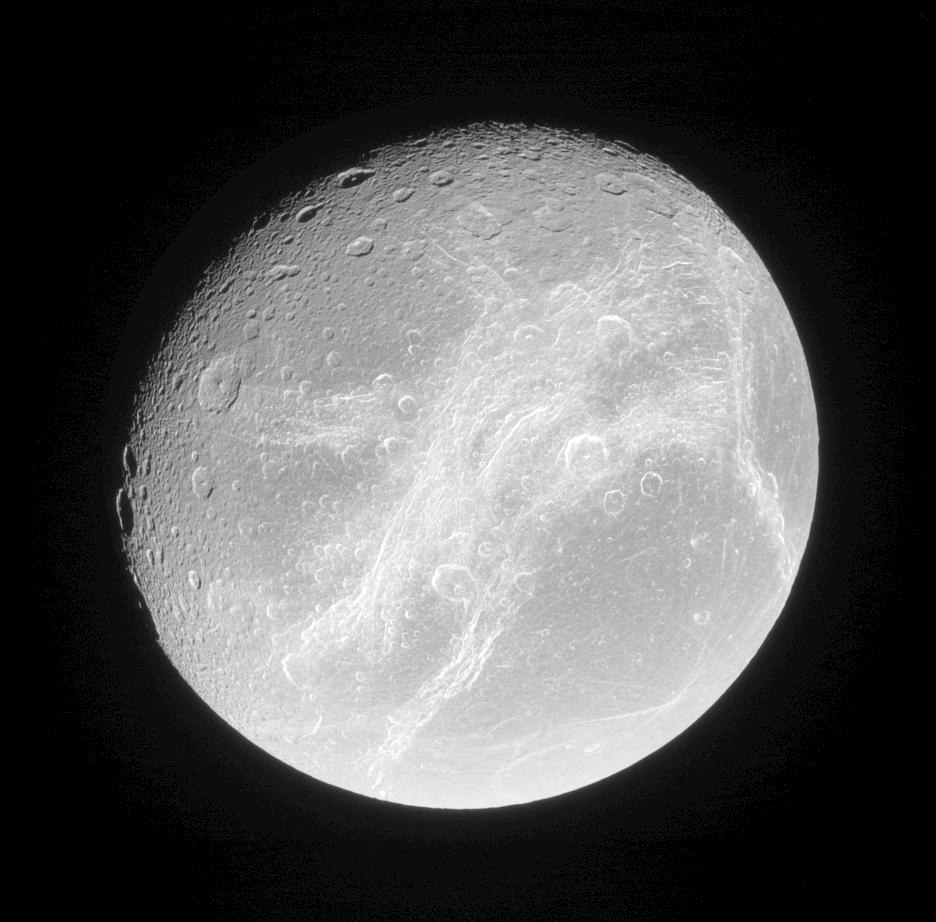
Overall view of Dione, one of three Saturnian moons that are no longer active but still show signs of high levels of geological development. This image was acquired on 24 July 2006, at a distance of 365,000 kilometres.
The moon has a diameter of 1125 kilometres and, along with the icy moons Tethys and Rhea, makes up a group of three nearly equally sized moons circling Saturn between the orbits of Enceladus and Titan. Their surfaces show clear evidence of earlier tensions in their crusts, which can be seen in what are referred to as tectonic deformations. This suggests that these three moons have experienced a high level of geological development, as have, for example, Saturn’s moons Mimas and Iapetus.
In this group of moons, Dione is the most geologically developed satellite. The Voyager image data from 1980 showed mostly plains covered by closely-spaced impact craters, but, in addition, a pattern of bright, very fine lines (wispy streaks) that were initially interpreted as a sign of ice volcanism. In this model of cryovolcanism, icy material escapes through fissures in the minus 186 degrees Celsius surface and quickly freezes. The high-resolution images acquired by the Cassini spacecraft have now revealed these features to be tectonic in origin, primarily caused by episodes of crustal strain, but also by shear and compressive stresses that arose at different times in the past. The bright lines visible in the Voyager data have their origin in almost pure water ice, exposed on the steep slopes of these structures by tectonic deformations of the rigid ice crust.

