Image from the 3K camera – flooded area of the tributaries of the rivers Oder and Neisse
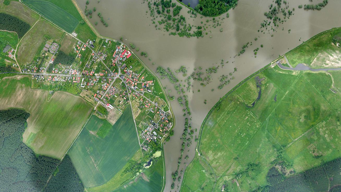

Image from the 3K camera – flooded area of the tributaries of the rivers Oder and Neisse
The aerial photographs for the DLR VABENE project are taken from altitudes of up to around 2000 metres. 3D data about Earth’s surface can be derived from the real-time images.