Nazca lines in Peru, TerraSAR-X, TSX

Nazca lines in Peru, TerraSAR-X, TSX
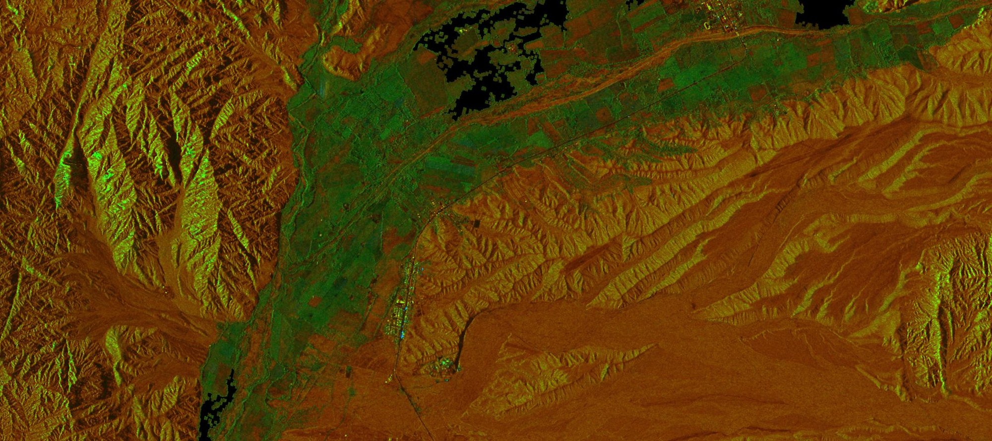
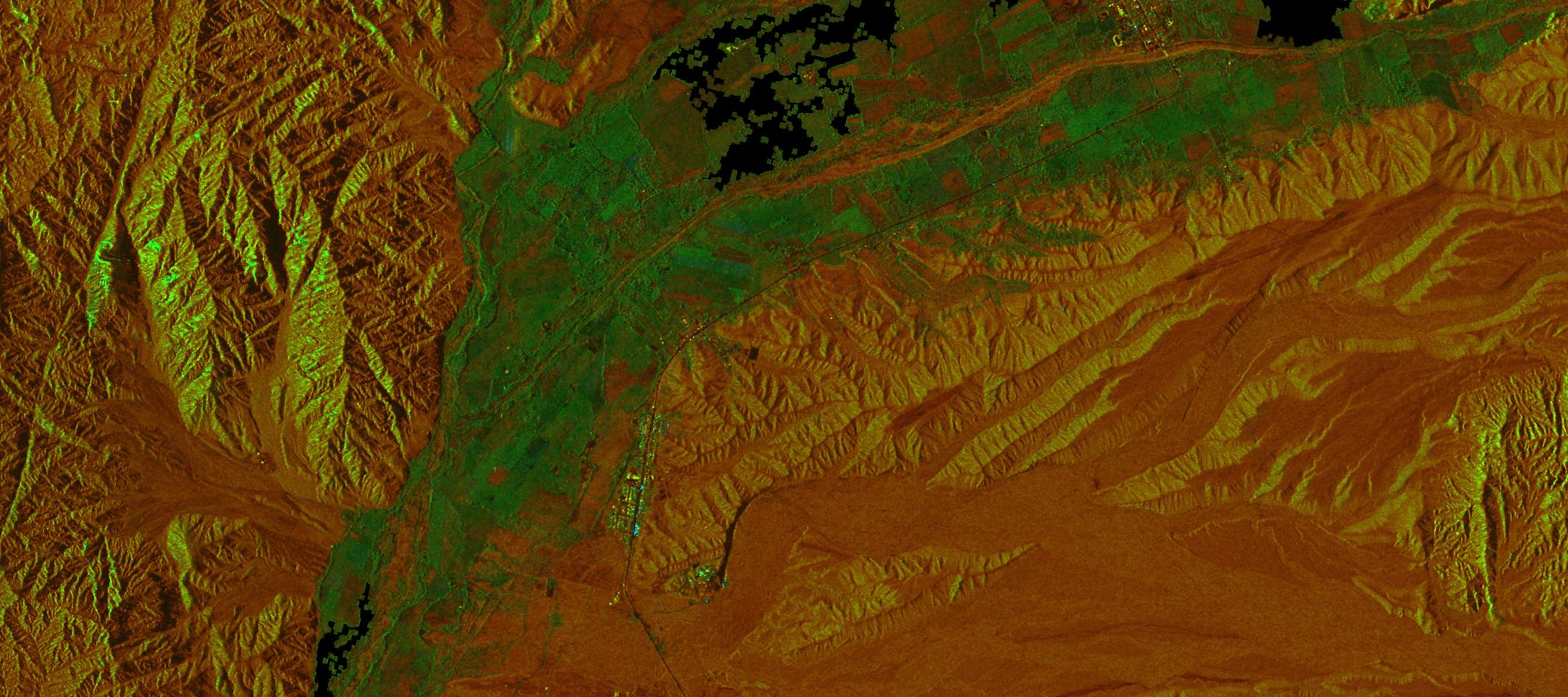
The geoglyphs show up as dark grooves in the ground in the vicinity of the small town of Palpa – which can be seen as a set of lighter dots in the picture. They can be seen on the radar images as a dark cross. The desert surface in this area normally consists of loose, rough stony ground, but in some areas this stony cover, coated with a black ‘desert lacquer’, is missing. In such areas we can see the lighter, finer under-surface. The stone heaps can be seen as a low wall at the edges of the clearings. The picture also clearly shows the town of Llipata to the south, as well as the Pan Americana highway, running as a narrow black line through green fields and the reddish stony desert. The dry bed of the Rio Viscas, through which water flows for only four to six weeks a year, runs almost parallel to the highway.