Topography of Vesta's surface


Topography of Vesta's surface
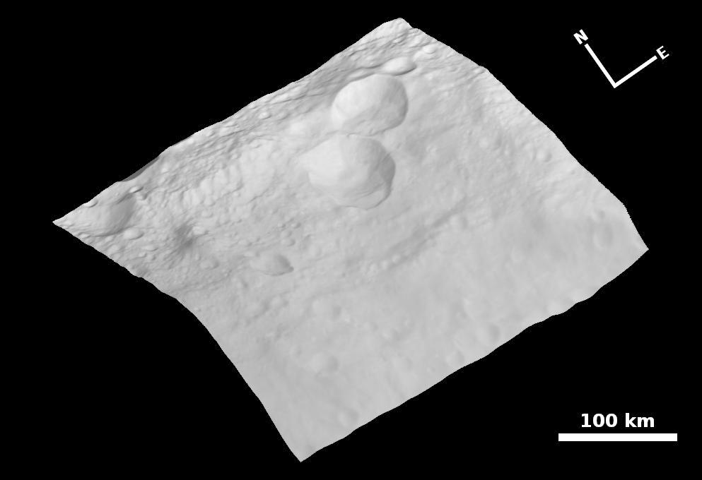
This representation of the surface topography of Vesta was created using a number of images acquired on 6 August 2011 using the Framing Camera and clear filter on board the NASA's Dawn spacecraft. The image has a resolution of 260 metres per pixel. The mosaic photographic image is superimposed on a digital terrain model.