Nadir channel image of the north of Tempe Terra

Nadir channel image of the north of Tempe Terra
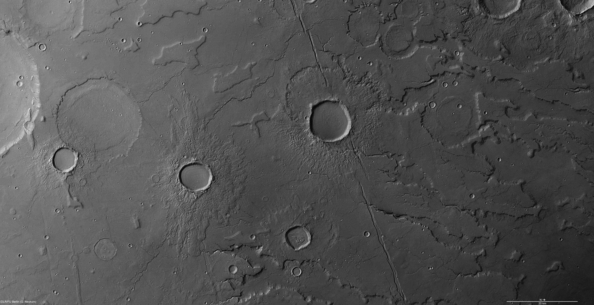
The nadir channel, which points vertically down towards the planet’s surface, enabled HRSC image data to be captured with a resolution of 18 metres per pixel as Mars Express flew over the northeast of Tempe Terra during orbit 9622. These enable small-scale geological structures to be identified; north is to the right in the image. The image detail shown covers an area of over 14,000 square kilometres, equivalent to an area roughly the size of The Bahamas. Tempe Terra is one of the most geologically interesting areas on Mars, because in this transition zone between the highlands and northern lowlands both tectonic forces and water and ice have made a wide range of changes to the landscape.
Copyright note:
As a joint undertaking by DLR, ESA and FU Berlin, the Mars Express HRSC images are published under a Creative Commons licence since December 2014: ESA/DLR/FU Berlin, CC BY-SA 3.0 IGO. This licence will also apply to all HRSC images released to date.