Radar view of the Mackenzie River


Radar view of the Mackenzie River
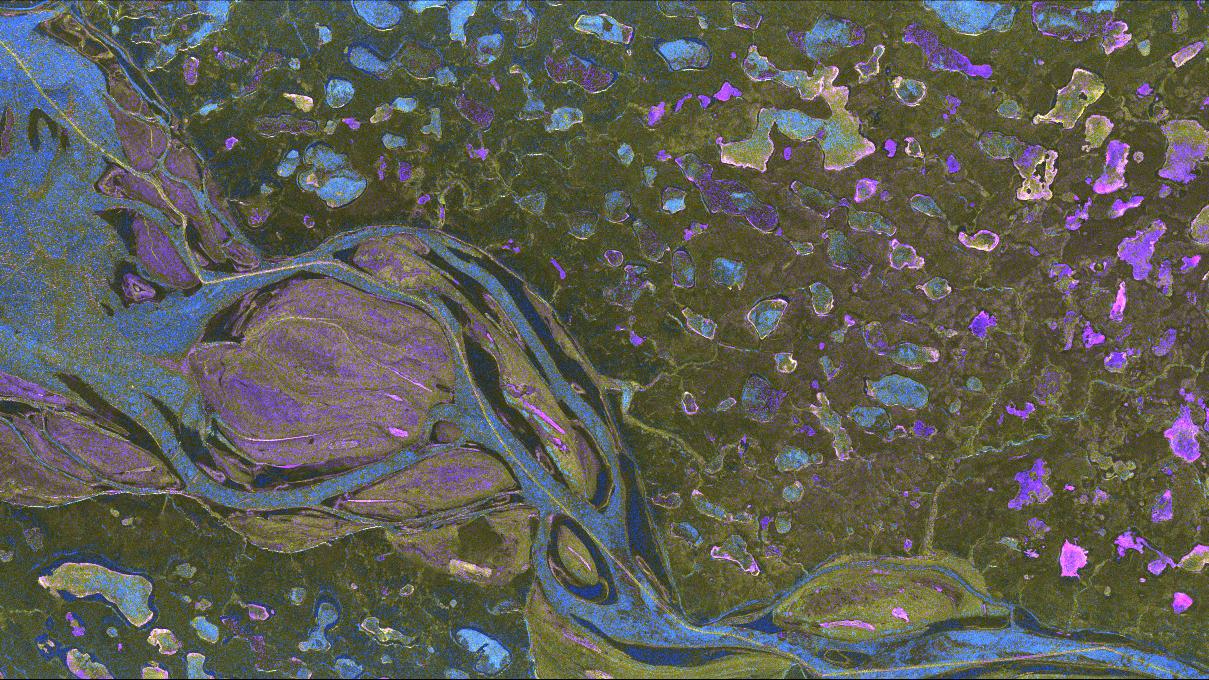
Radar signals from the TerraSAR-X satellite can penetrate the upper layers of snow and ice that cover the Mackenzie River in Canada. The shades of colour enable DLR researchers to draw conclusions about the ice formations and various subsurfaces.