Measurement of elevation variations using radar


Measurement of elevation variations using radar
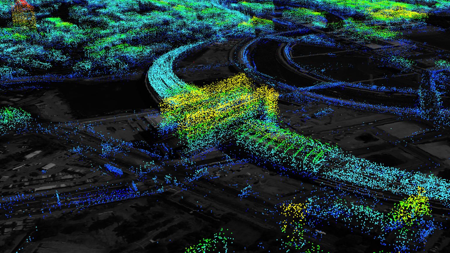
Radar view from above; this data analysis reveals variations in the height of the station and its surroundings. The yellow and red markings in the dot cloud show elevation changes in the millimetre range.