Topographic overview map of the Arabia Terra region

Topographic overview map of the Arabia Terra region
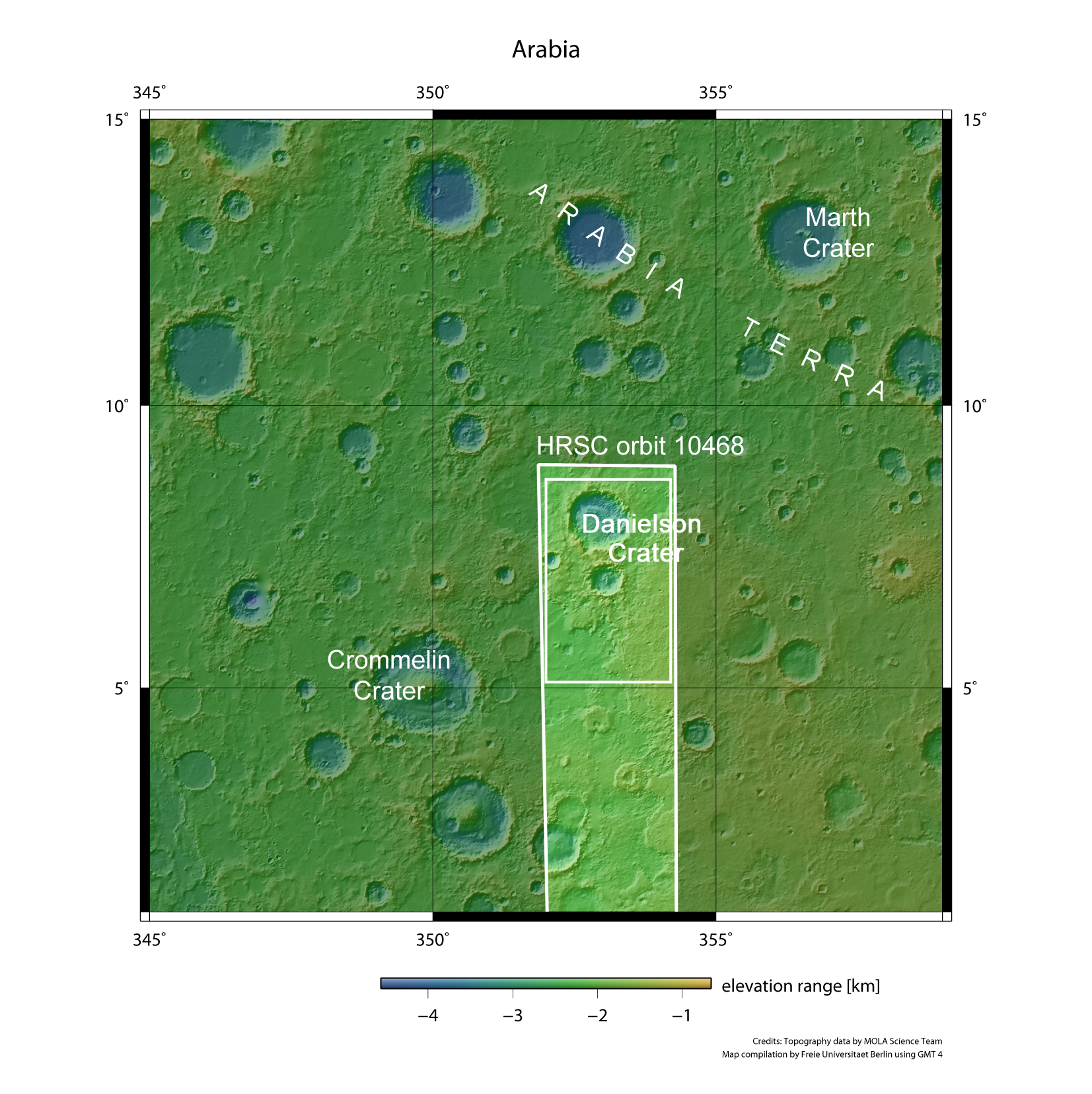
Arabia Terra is the transition zone between the southern highlands of Mars and the low-lying plains of the planet's northern hemisphere. The region is characterised by numerous craters filled with stratified sediments. On 19 March 2012, the High Resolution Stereo Camera (HRSC) on board ESA's Mars Express spacecraft acquired images of two craters (Danielson and Kalocsa) during orbit 10,468, from an altitude of roughly 550 kilometres. The features depicted in the other images presented here are located in the small, inner rectangle.