Colour plan view of the northern part of the mouth of Ladon Valles

Colour plan view of the northern part of the mouth of Ladon Valles
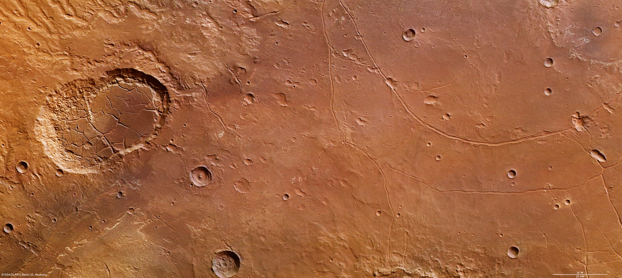
This colour plan view was created by combining data from the nadir channel of the High Resolution Stereo Camera (HRSC) on board ESA’s Mars Express spacecraft, which is directed vertically down onto the planet’s surface, with data from the colour channels; north is to the right. The image covers an area of 22,500 square kilometers, roughly the size of New Hampshire. In this area, water has left many signs of its presence on the landscape, such as layers of sediment (lower left) and, on the lowland areas, sporadic light, almost white, deposits of minerals that formed in water.
Copyright note:
As a joint undertaking by DLR, ESA and FU Berlin, the Mars Express HRSC images are published under a Creative Commons licence since December 2014: ESA/DLR/FU Berlin, CC BY-SA 3.0 IGO. This licence will also apply to all HRSC images released to date.