HRSC topographic map of Hadley Crater

HRSC topographic map of Hadley Crater
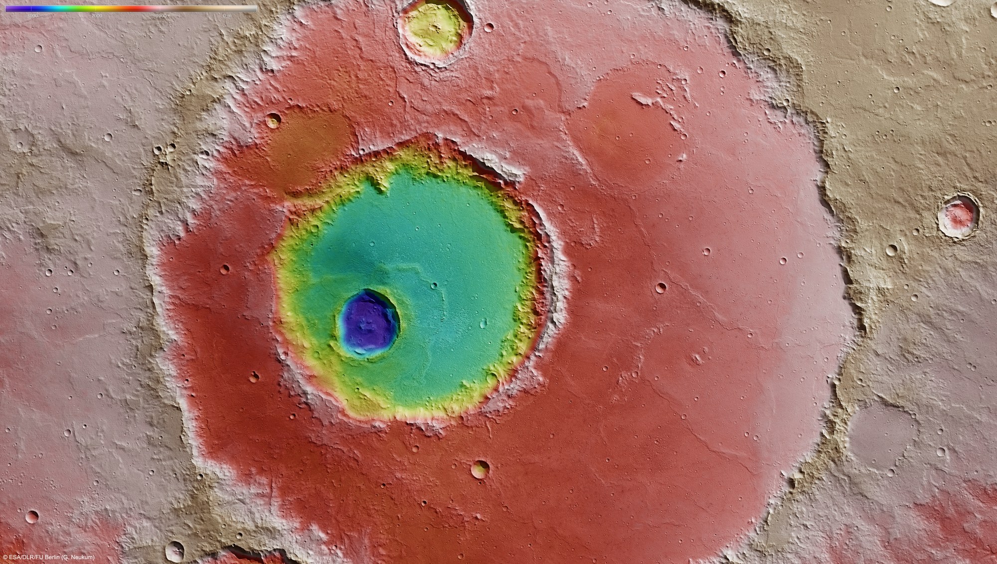
Using the High Resolution Stereo Camera (HRSC), digital terrain models can be derived that illustrate the topography of the region using false colours. The altitudes can be read from the coloured scale at the top left of the full image. In the absence of 'sea level', the elevation data is referenced to an areoid – a modelled equipotential surface on which everything experiences the same gravitational attraction towards the centre of the planet. The differences in the depths of the various craters are clearly visible.
Copyright note:
As a joint undertaking by DLR, ESA and FU Berlin, the Mars Express HRSC images are published under a Creative Commons licence since December 2014: ESA/DLR/FU Berlin, CC BY-SA 3.0 IGO. This licence will also apply to all HRSC images released to date.