Ice sheets in Northern Siberia

Ice sheets in Northern Siberia
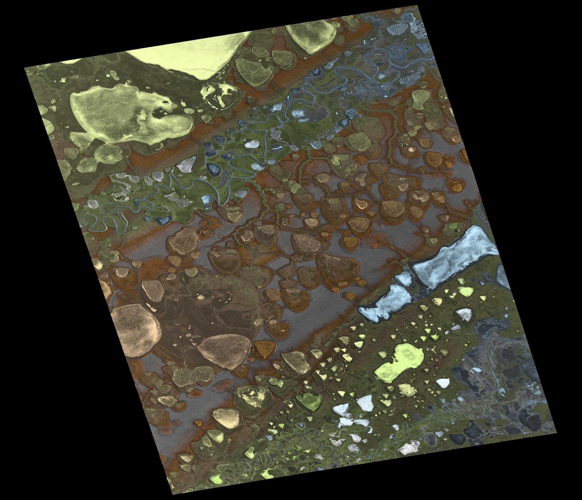
During the Shuttle Radar Topography Mission (SRTM) in 2000, the creation of elevation models was only possible below 60 degrees of latitude. The twin satellites TerraSAR-X and TanDEM-X flying in formation are creating elevation maps of areas such as Northern Siberia for the first time. In addition, the resolution of these maps is higher than ever before.