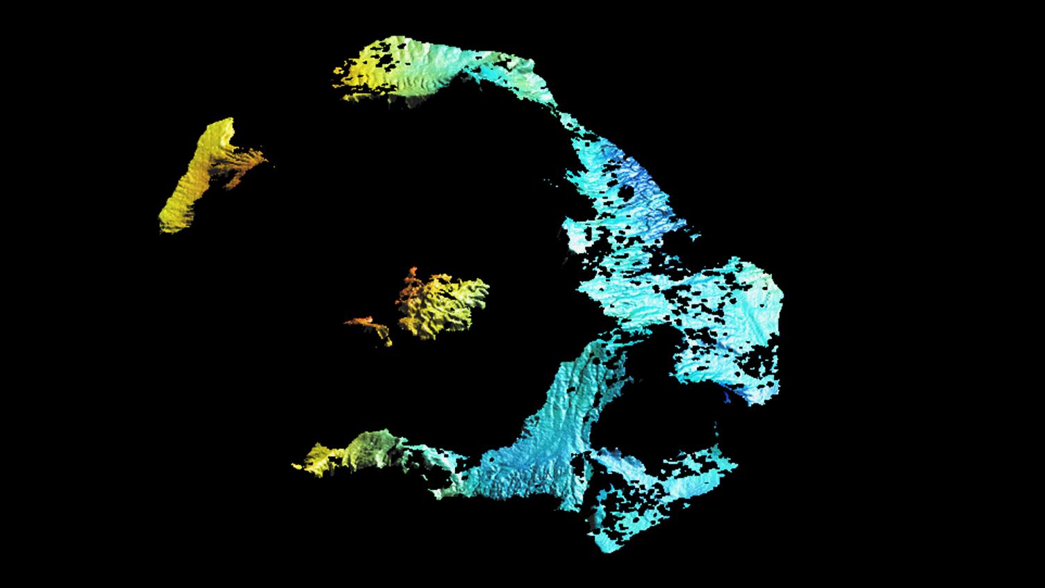
Radar image of the Santorini archipelago


Radar image of the Santorini archipelago
British researchers have used images acquired by the German Aerospace Center (Deutsches Zentrum für Luft- und Raumfahrt; DLR) TerraSAR-X satellite to create a map showing changes in the Santorini archipelago. The cause of the deformation is the Santorini volcano located beneath the archipelago. In some places, the Kameni Islands inside the flooded caldera have risen by eight to 14 centimetres. The breadth of the caldera as a whole has increased by about 14 centimetres since early 2011. In the analysis of the radar data, the red and yellow shading shows the areas where the ground has risen the most. The main island of Thira is unaffected by the deformation, thus appearing blue.