Topographical image map of Reull Vallis

Topographical image map of Reull Vallis
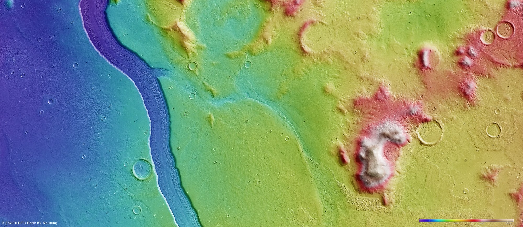
Using the HRSC stereo camera, digital terrain models can be derived that illustrate the topography of the region using false colours. The altitude allocation can be read from a colour scale at lower right; north is to the right in the image. In the spurs in the Promethei Terra highland region (right), individual mountains rise up to 2000 metres above the surroundings. Reull Vallis forms a striking incision around 300 metres deep. Clearly visible is a tributary valley running through the centre of the image and ending in Reull Vallis.
Copyright note:
As a joint undertaking by DLR, ESA and FU Berlin, the Mars Express HRSC images are published under a Creative Commons licence since December 2014: ESA/DLR/FU Berlin, CC BY-SA 3.0 IGO. This licence will also apply to all HRSC images released to date.