Sulci Gordii


Sulci Gordii
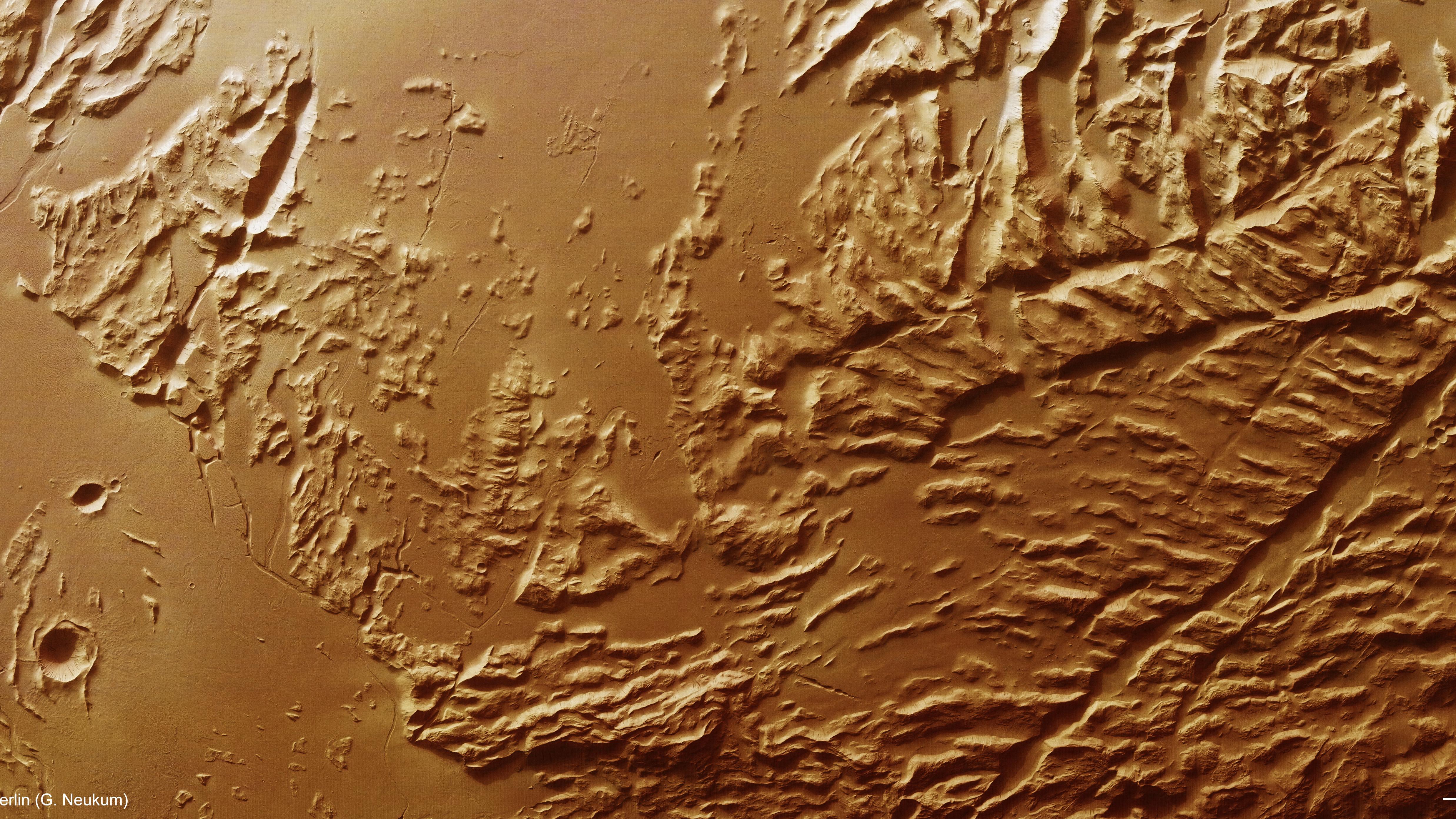
This colour plan view of the Sulci Gordii region of Mars was created using data from the nadir channel, which is directed vertically down onto the planet's surface, and the colour channels of the High Resolution Stereo Camera. The image data was acquired on 23 January 2013 (orbit 11531), with a ground resolution of about 31 meters per pixel. Sulci Gordii lies at approximately 17 degrees north and 234 degrees east, about 200 kilometres east of Olympus Mons. The feature is an 'aureole' deposit resulting from a massive landslide that sloughed away from the flanks of Olympus Mons in its distant past. This complex scene is dominated by a series of roughly parallel ridges and valleys (called sulci), with lava or water-carved channels in the northernmost (left) portion of the image. Smooth, younger volcanic lava flows overlay parts of the sulci.
Copyright note:
As a joint undertaking by DLR, ESA and FU Berlin, the Mars Express HRSC images are published under a Creative Commons licence since December 2014: ESA/DLR/FU Berlin, CC BY-SA 3.0 IGO. This licence will also apply to all HRSC images released to date.