Navigation with real-time satellite images

Navigation with real-time satellite images
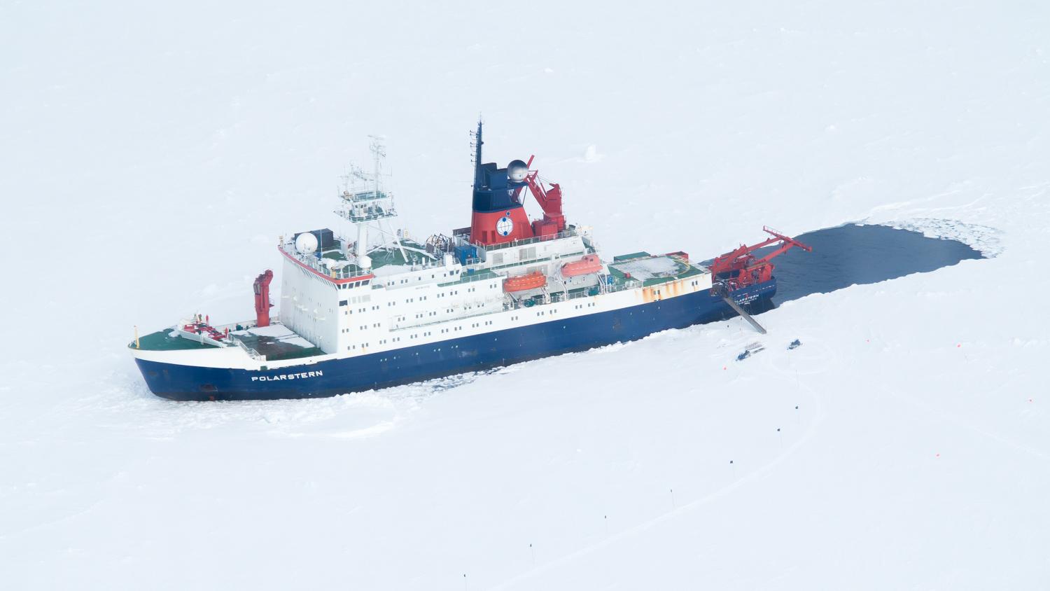
DLR and AWI are currently testing to what extent this method is applicable on board the research vessel MS Polarstern; at the moment, the ship is located in the Weddell Sea to analyse the relationship between winter ice cover and changes in the population of Antarctic krill.