Topographic context map of the border area between Claritas Fossae and Daedalia Planum with Mistretta Crater

Topographic context map of the border area between Claritas Fossae and Daedalia Planum with Mistretta Crater
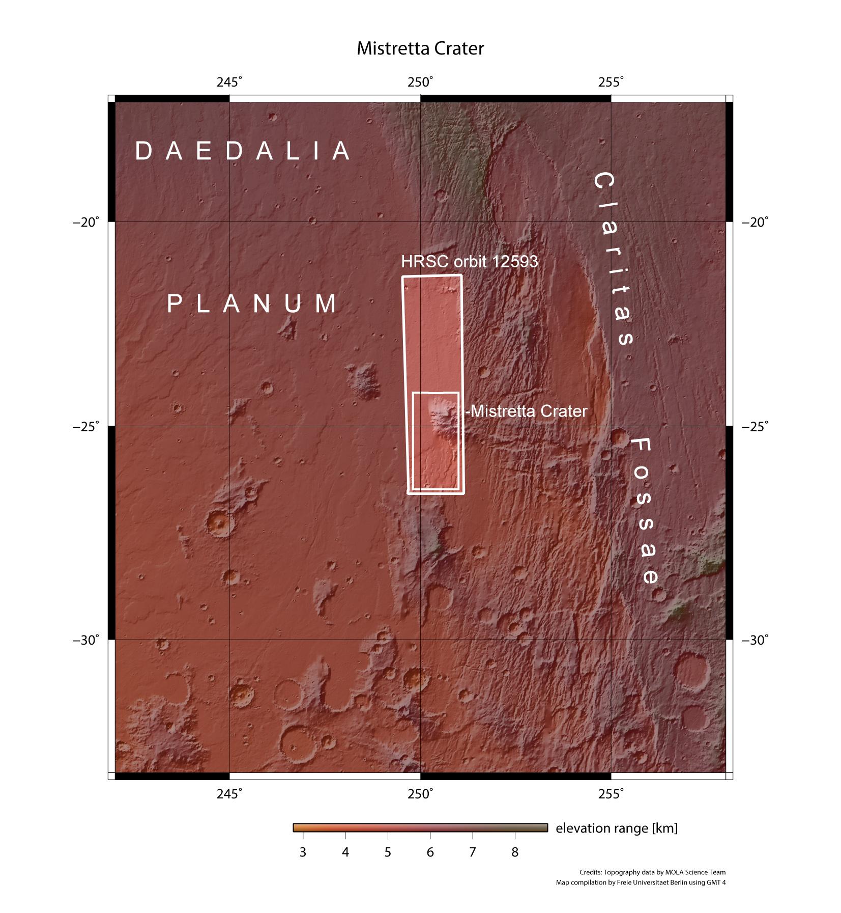
This topographic map shows the border area between Claritas Fossae and Daedalia Planum on Mars, where Mistretta Crater is located. The images presented in in this article are located in the small, inner rectangle within the lower third of the strip imaged by the High Resolution Stereo Camera (HRSC) on 28 November 2013.