Elevation models of the volcanoes on the Russian Kamchatka Peninsula


Elevation models of the volcanoes on the Russian Kamchatka Peninsula
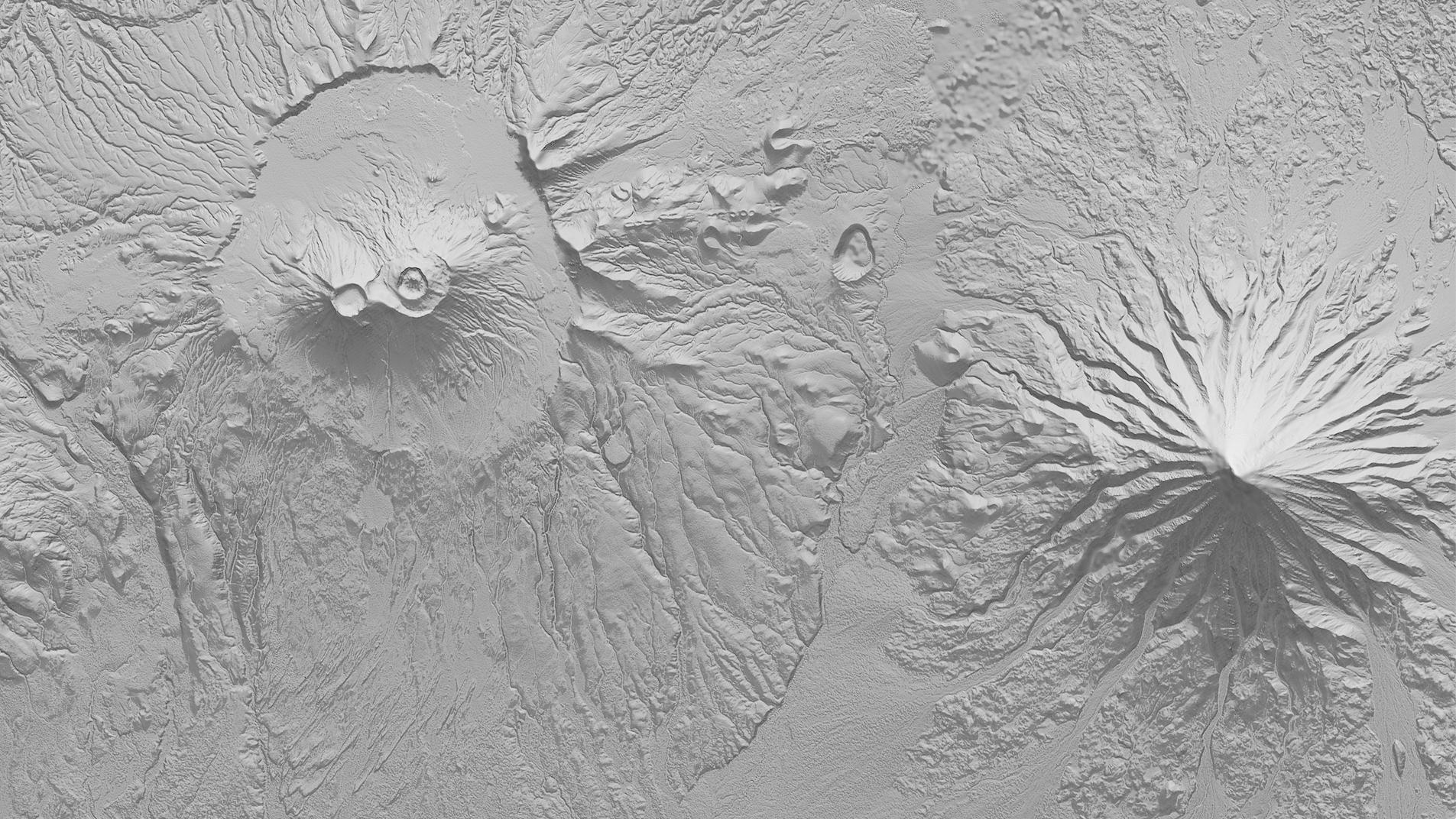
The German Aerospace Center (DLR) is delivering the first final digital elevation models from the TanDEM-X mission for scientific use. Here, a detailed view around the Krasheninnikov Caldera and Kronotsky Volcano is presented as a shaded relief map. Maps of this kind using TanDEM-X data permit analyses of possible lava flow, used to determine endangered areas.