Topographical overview of the western border of Hellas Planitia

Topographical overview of the western border of Hellas Planitia
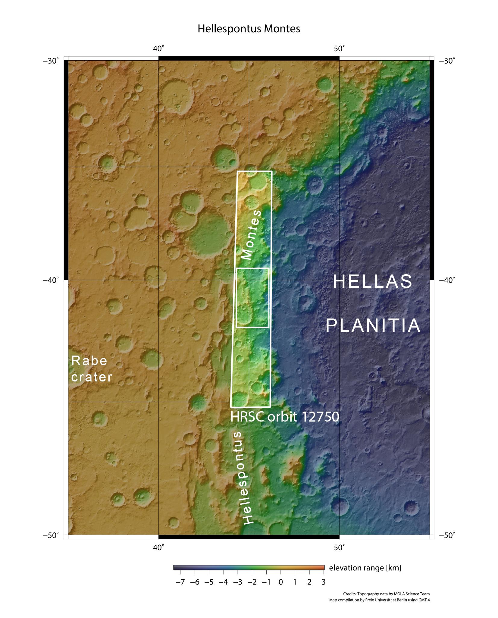
At around 2200 kilometres across in some places, Hellas Planitia is the second largest impact basin in the inner Solar System. The crater has a depth of eight kilometres. Following impact, the crater rim subsided into the Hellas depression along geological fault lines, producing the distinctive structures found in Hellespontus Montes. Mars Express imaged the region during orbit 12,750 on 13 January 2014. The landscape shown in the images presented here is situated in the smaller, inner rectangle within the image strip recorded by the DLR-operated High Resolution Stereo Camera (HRSC).