Topographical map of the southern regions in Hellas Planitia
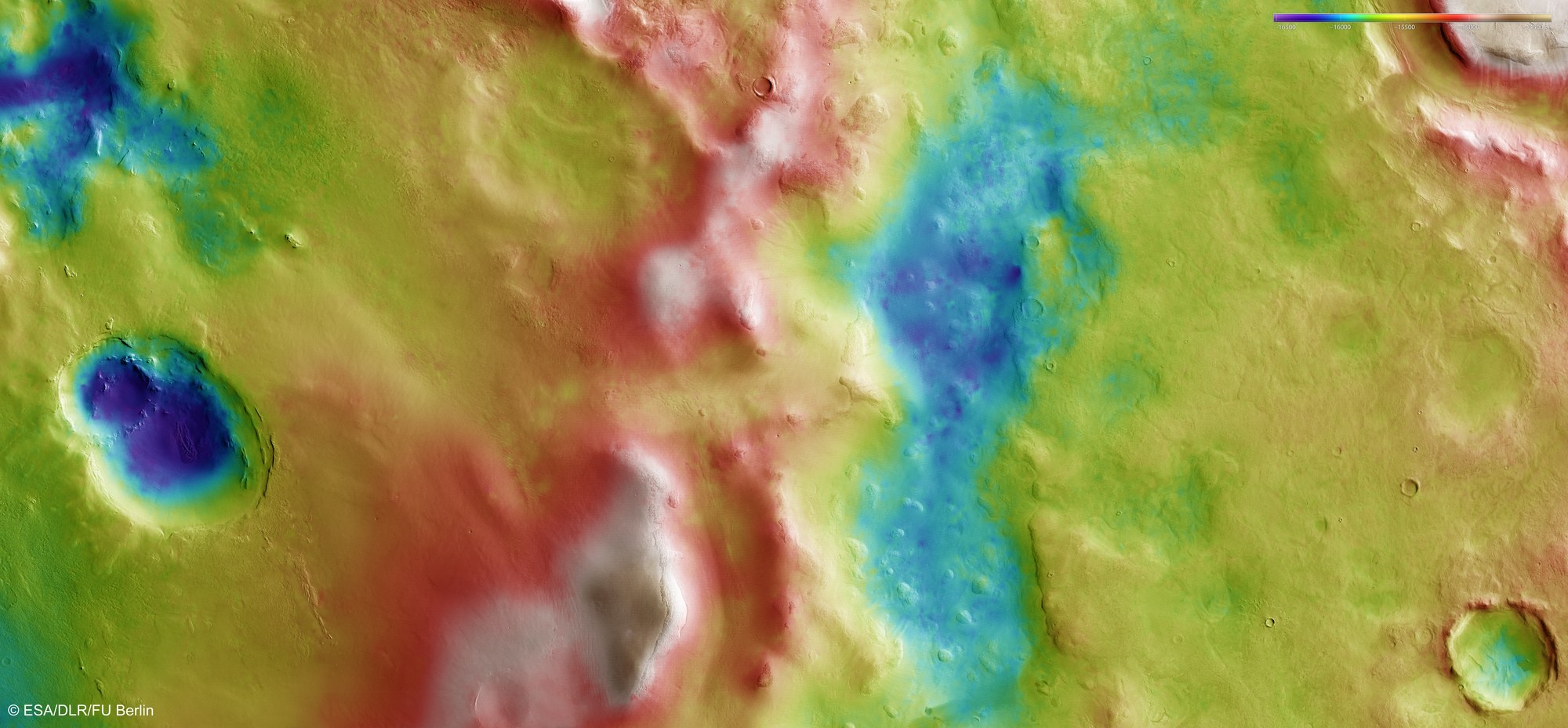

Topographical map of the southern regions in Hellas Planitia
The stereo image data acquired by the High Resolution Stereo Camera (HRSC) can be used to generate digital terrain models showing the elevation relative to an implied reference plane for each point on the surface of Mars. In the south of Hellas Planitia, this procedure clearly shows that over the three and a half billion years that the crater has existed on Mars, erosion and sedimentation processes have produced substantial changes across the original ‘plains’ (Latin: Planitia) on the interior of the impact structure; more recent, smaller impacts, and also the influence of water and volcanic activity, have carved a new arrangement, creating a landscape profile that differs in elevation by several thousand metres.
Copyright note:
As a joint undertaking by DLR, ESA and FU Berlin, the Mars Express HRSC images are published under a Creative Commons licence since December 2014: ESA/DLR/FU Berlin, CC BY-SA 3.0 IGO. This licence will also apply to all HRSC images released to date.