Topographical image map of a section of the Arabia Terra region

Topographical image map of a section of the Arabia Terra region
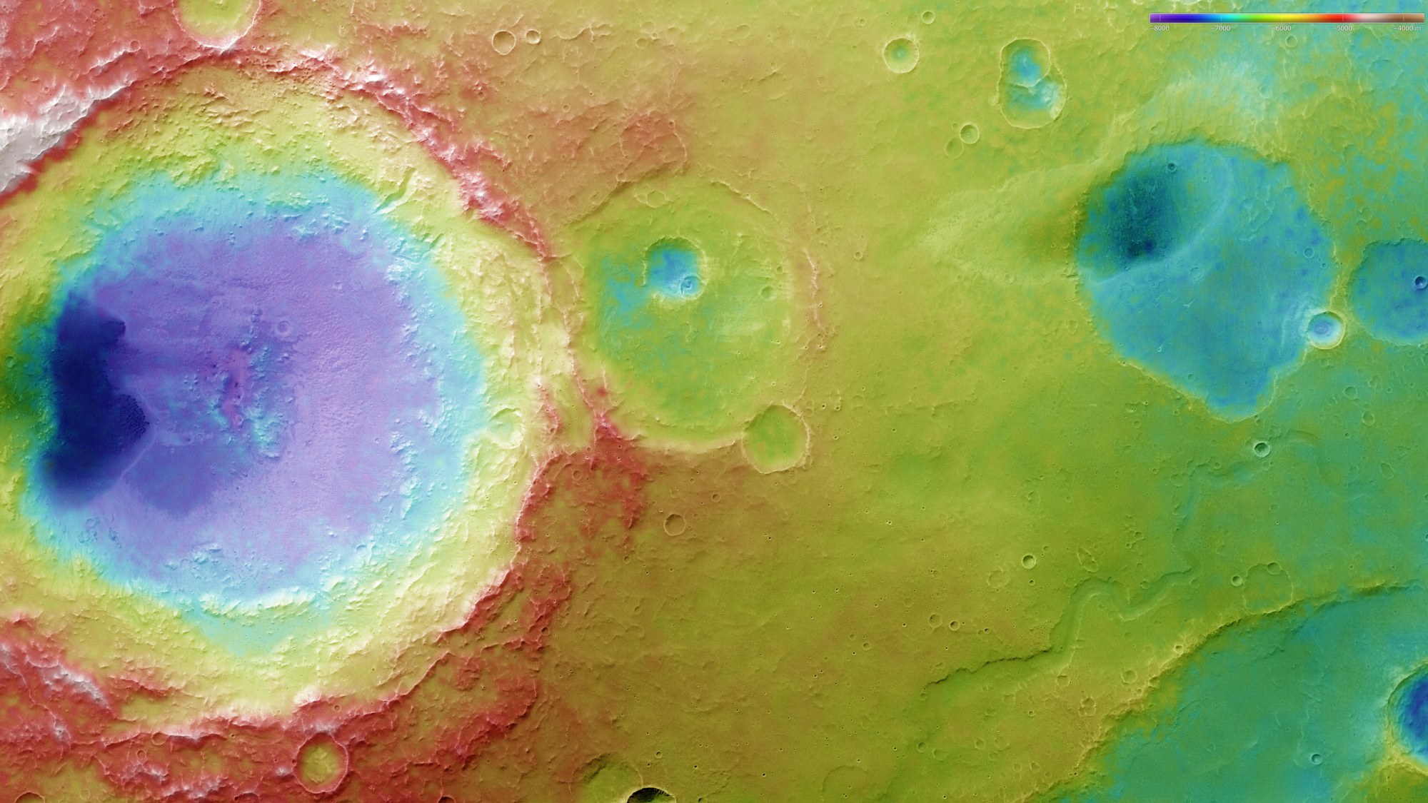
Digital terrain models can be derived from the HRSC imaging system’s stereo image data; they allocate an altitude value to each pixel on the surface of Mars. The reference level for the altitude values is an ‘areoid’, a therorectical plane of equal gravitational attraction that corresponds to sea level on Earth. The distribution of altitude values can be determined using the colour legend in the upper right of the image. This enables the observer to distinguish the various crater depths.