The difficult route followed by Mark Watney through the Martian highlands

The difficult route followed by Mark Watney through the Martian highlands
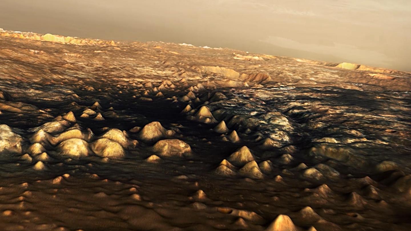
The route that Mark Watney had to take to have a chance of being rescued is over 3000 kilometres long – he had to abandon his Mars station in Chryse Planitia and go through Mawrth Vallis (right of centre) in the Martian highlands to finally arrive at an obstacle-filled path into Schiaparelli Crater where the Ares-4 rocket had been ‘parked’ and where rescue might be possible. From highly accurate digital terrain models of the Arabia Terra region, DLR scientists have computed realistic perspective images of the regions encountered by Watney. The transition zone between the Martian lowlands and highlands is characterised by erosion and weathering processes that have left a harsh, rugged landscape. Mawrth Vallis is one of the potential choices for the landing module of the ESA ExoMars mission.