Topographic overview map of the Aeolis Mensae region


Topographic overview map of the Aeolis Mensae region
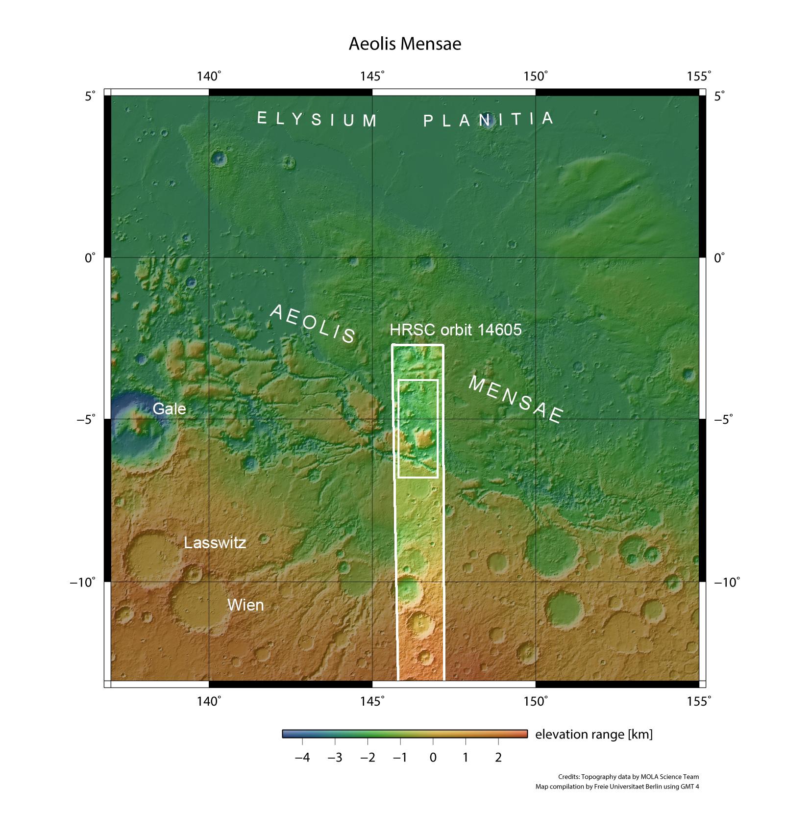
Located between 140 and 150 degrees east, Aeolis Mensae is a transition zone between the southern highlands of Mars and the northern lowlands. The area is characterised by numerous large mesas that protrude like icebergs from the southern section of Elysium Planitia. Aeolis Mensae takes its name from an ancient landscape on the west coast of modern Turkey. Travelling at an altitude of approximately 360 kilometres, Mars Express passed over the eastern section of Aeolis Mensae on 7 July 2015, where it used the High Resolution Stereo Camera (HRSC) to acquire the image data presented here (small rectangle within the highlighted strip of the image).