Topographical overview map of Memnonia Fossae

Topographical overview map of Memnonia Fossae
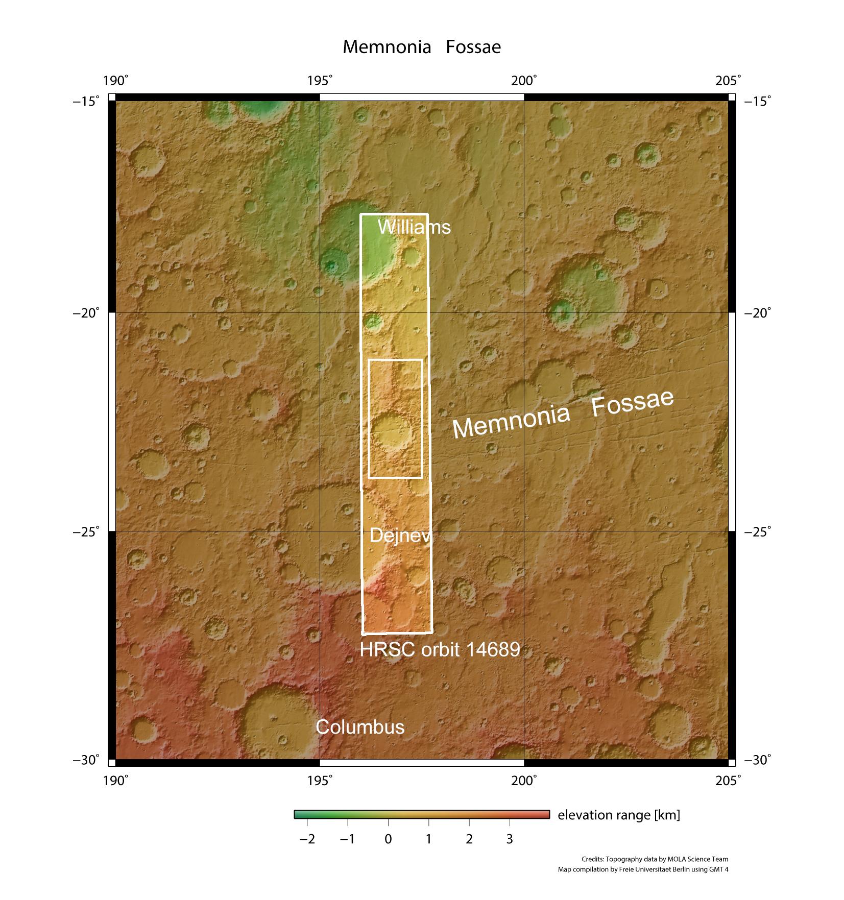
The image shown here was acquired by DLR’s HRSC camera on board the European Mars Express spacecraft, and shows part of the Memnonia Fossae region, the ‘Rifts of Memnonia’, on Mars. They are named after a temple complex in the ancient Egyptian city of Thebes. Here, to the west of the Tharsis volcanic region, is a network of grabens in the Martian highlands. They are the result of tectonic stresses in the Martian crust and extend over 1600 kilometres in an east-west direction. They were very likely caused by the bulging of the adjacent Tharsis volcanic region to the east.