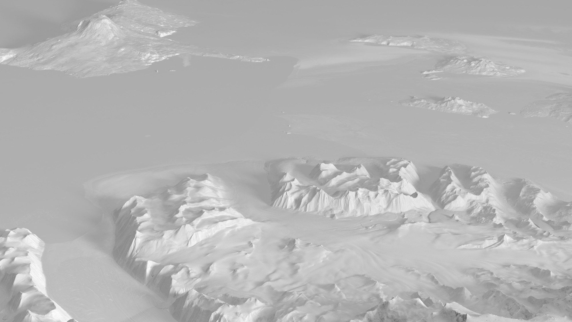
Mount Erebus, Antarctica
Mount Erebus, Antarctica
Within the framework of the German TanDEM-X radar satellite mission, the polar regions were surveyed for the first time in a comprehensive and highly accurate manner, which is of vital importance for climate research. The terrain model here shows a region of the Antarctic around the 3794-metre-high Mount Erebus (upper left), an active volcano covered by glacier ice.

