False colour image of the topography of the Neukum Crater

False colour image of the topography of the Neukum Crater
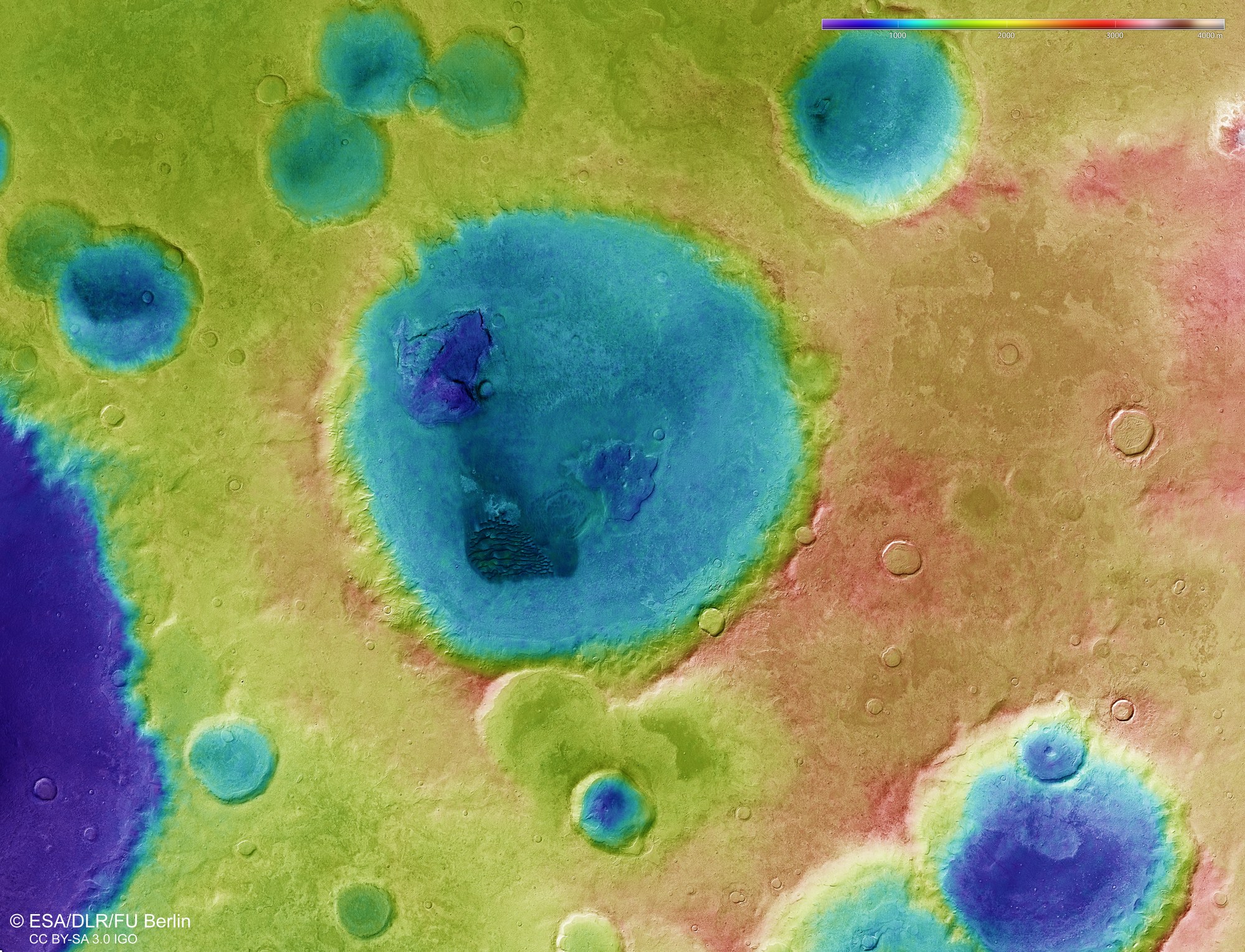
Digital topographical models of the surface of Mars, with an accuracy of up to 10 metres per pixel, can be derived from the nadir channel (oriented vertically onto the surface of Mars) and the stereo channels of the HRSC camera. These colour-coded images clearly depict the absolute heights above a reference level, the Areoid (from Ares, the Greek name for Mars). The elevation values can be read on the colour scale at the top right of the image.