Vertical plan view of Cerberus Fossae region

Vertical plan view of Cerberus Fossae region
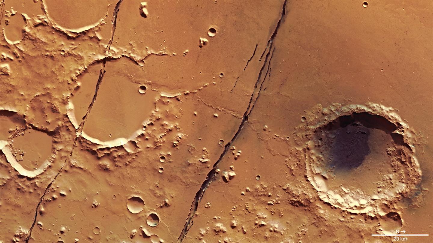
All of the Cerberus Fossae elongated trenches on the Elysium plain run in the same direction: from north-west to south-east. At the centre of the image we see the two most conspicuous trenches: further to the south (left on the picture; where north is to the right) we can also see two additional, narrow trenches. The forces, which culminated in the crust breakup, acted perpendicularly to this. The smooth areas consist of solidified, low viscosity lava. The small number of impact craters on its surface shows that the volcanic eruptions took place in the recent geological past. If we zoom into the picture, we can see many places where the lava flow front ran and where it left its mark on topographical ‘obstacles’. Lava also made its way out from the Fossae to the surface, and at times possibly also water.