Colour-coded topographic map of a valley network east of Huygens Crater
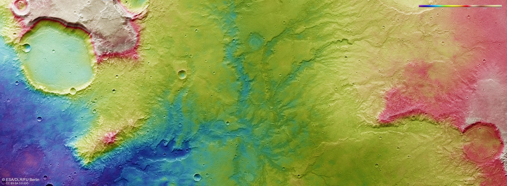

Colour-coded topographic map of a valley network east of Huygens Crater
Digital terrain models of the Martian surface can be generated from the image strips acquired by the HRSC camera system, which are recorded from different viewing angles. These contain elevation information of the planet’s surface for each pixel. The level to which the elevation information is referenced is an areoid (a Martian gravitational equipotential surface). In the map, north is to the right.