Topographical overview map showing the surroundings of the valley network east of Huygens Crater

Topographical overview map showing the surroundings of the valley network east of Huygens Crater
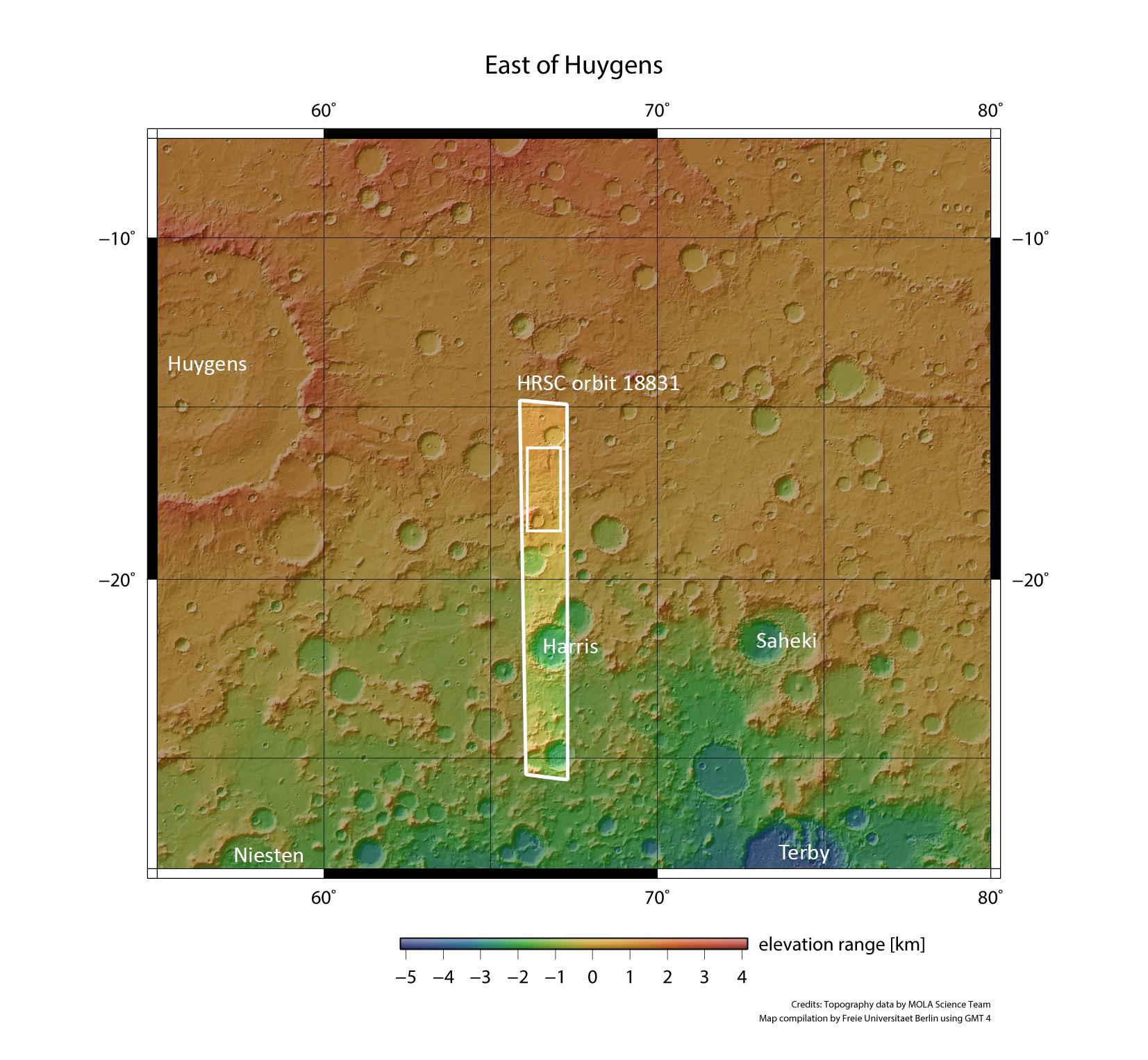
The images of the valley network to the east of the Huygens impact crater described in this article were acquired over the smaller rectangle within the larger, marked image strip. This strip was acquired by the High Resolution Stereo Camera (HRSC) during orbit 18,831 of ESA’s Mars Express spacecraft. North is at the top of this image.