The Nereidum Montes mountains in the northwest of the Argyre Basin

The Nereidum Montes mountains in the northwest of the Argyre Basin
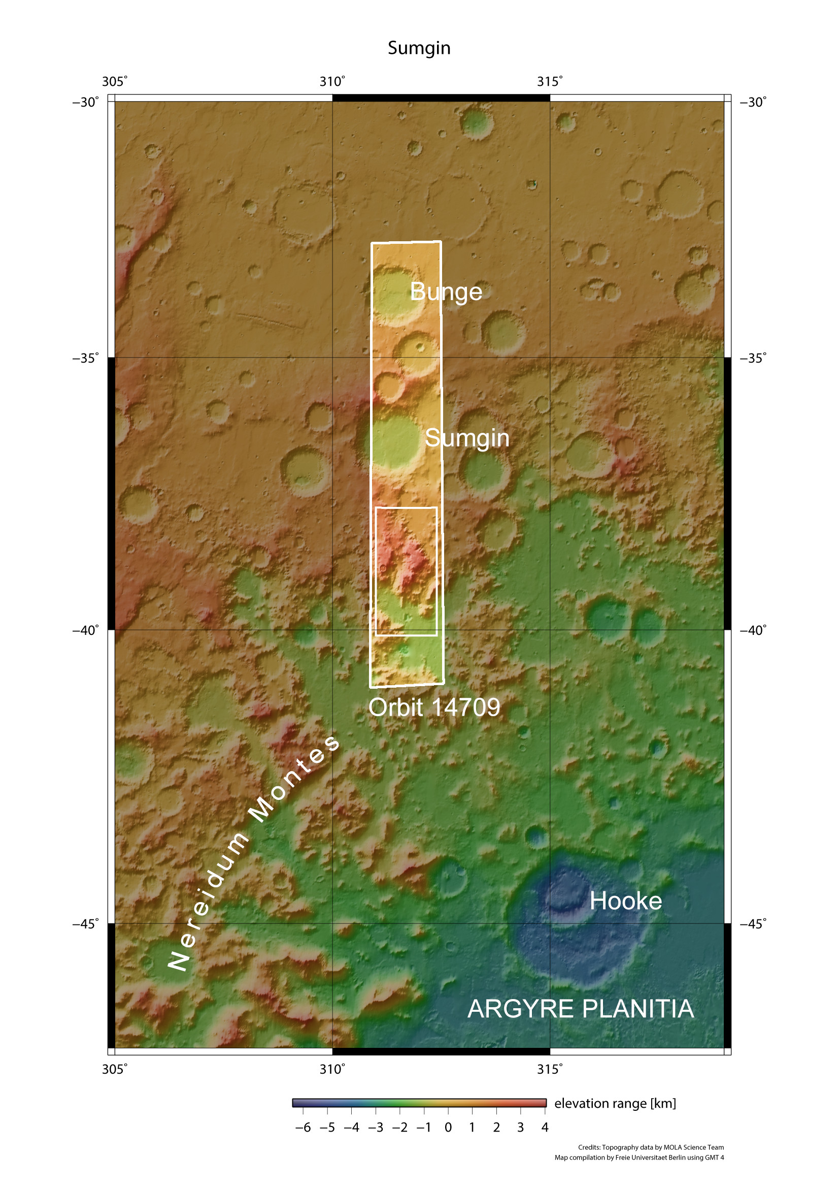
Nereidum Montes is part of the northern rim of the Argyre Basin. With a diameter of 1800 kilometres and a depth of up to five kilometres, Argyre, whose northwestern lowlands can be seen on the lower right of this topographic overview map, is the second-largest impact basin on Mars. Similar to the Alps, the Nereidum Montes mountain chain extends for over 1100 kilometres in an elongated arc, running parallel to the edge of the basin. As in the mountainous areas of Europe, there are individual massifs that are up to 4000 metres high. The High Resolution Stereo Camera operated by the DLR on board the ESA Mars Express orbiter imaged part of Nereidum Montes during orbit 14,709. The images show the region to the south of the 85-kilometre-diameter Sumgin Crater, named after the Russian permafrost scientist Mikhail Ivanovich Sumgin (1873–1942).