3D view of Pyrrhae Regio

3D view of Pyrrhae Regio
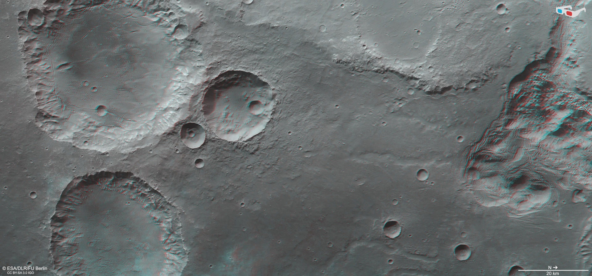
Anaglyph images can be generated using data acquired by the nadir channel of DLR’s High Resolution Stereo Camera (HRSC) on ESA’s Mars Express Orbiter and one of the four stereo channels with an oblique view. When using red-blue or red-green glasses, these images provide a three-dimensional view of the landscape. North is on the right of this image. Here the topography of the three large, prominent craters in the south of the scene (left in the image) is very clearly visible. The already heavily eroded crater rims show that the landscape is very old and that the craters were probably formed more than three billion years ago. But the view into the more than 4000-metre-deep depressions in the north, whose sides are bordered by terraces, is particularly spectacular. In them, water has left behind a wildly rugged landscape, referred to as ‘chaotic terrain’, which is typical of these regions on Mars.