Illustration of the Earth System
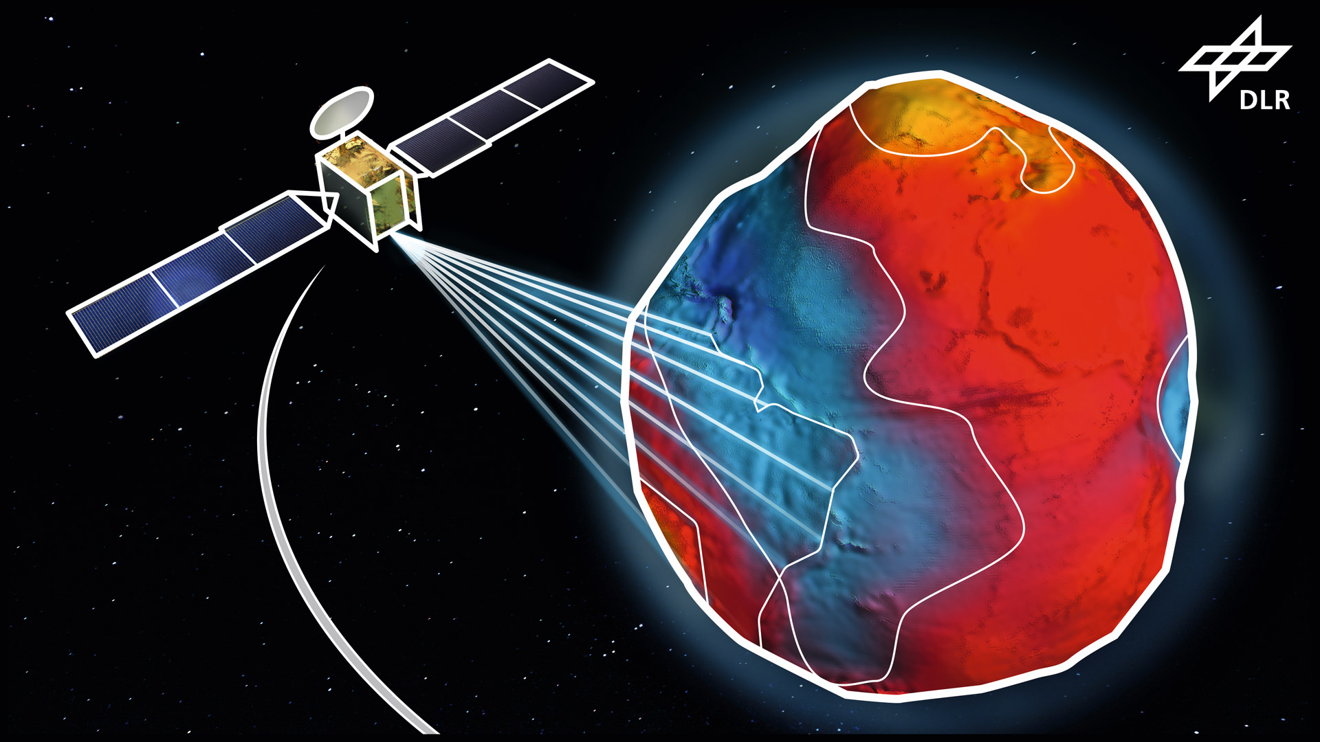

Illustration of the Earth System
The illustration shows a satellite that is investigating the processes happening in the Earth System. The DLR Institute for Satellite Geodesy and Inertial Sensing is developing high-precision quantum sensors to measure Earth’s gravitational field. Any changes detected would allow conclusions to be drawn about climate processes, the melting of ice masses or changes to groundwater levels.