Innovative evaluation methods

Innovative evaluation methods
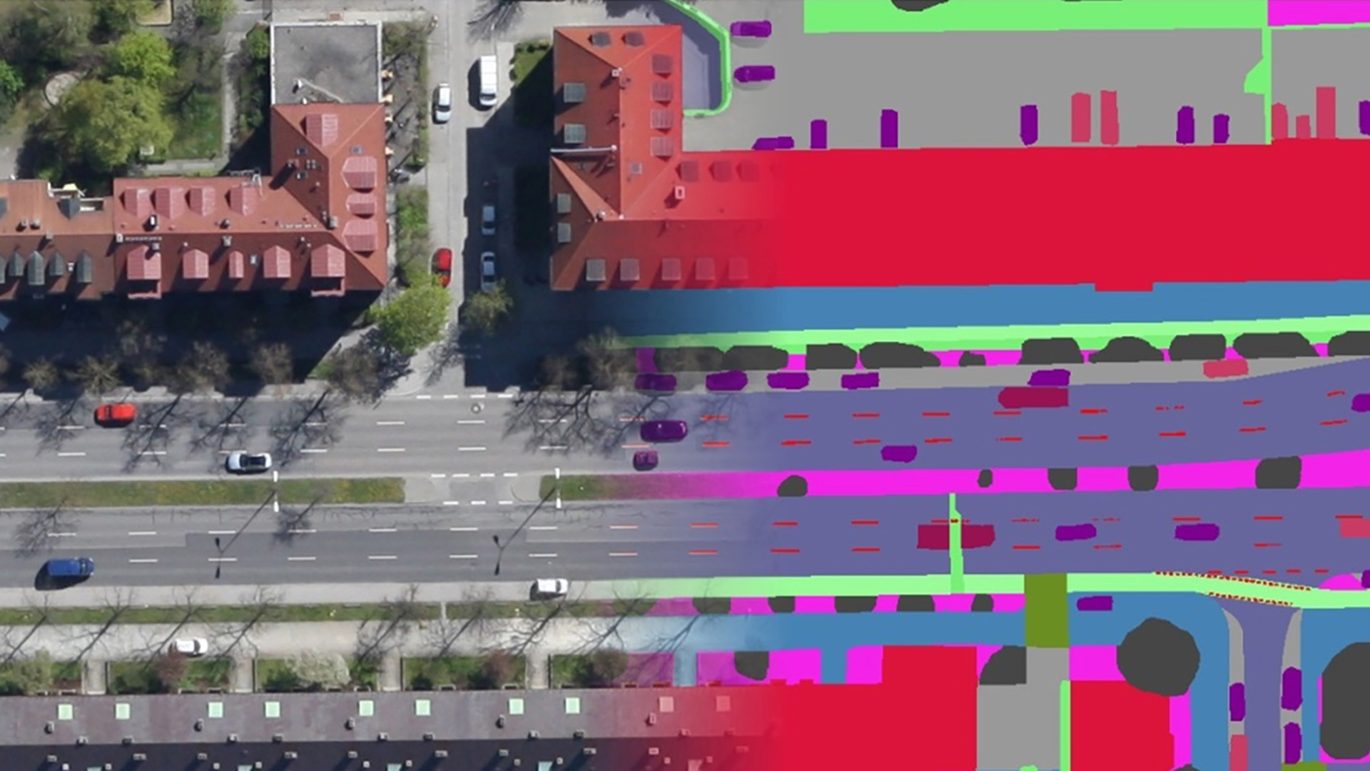
Information on categories such as cycle paths, traffic lanes, lane markings or houses can be acquired automatically from aerial images. These data can also be used for planning purposes. This example image and the next image illustrate the automated categories detected in a street scene in Munich.