False colour image of Bonn

False colour image of Bonn
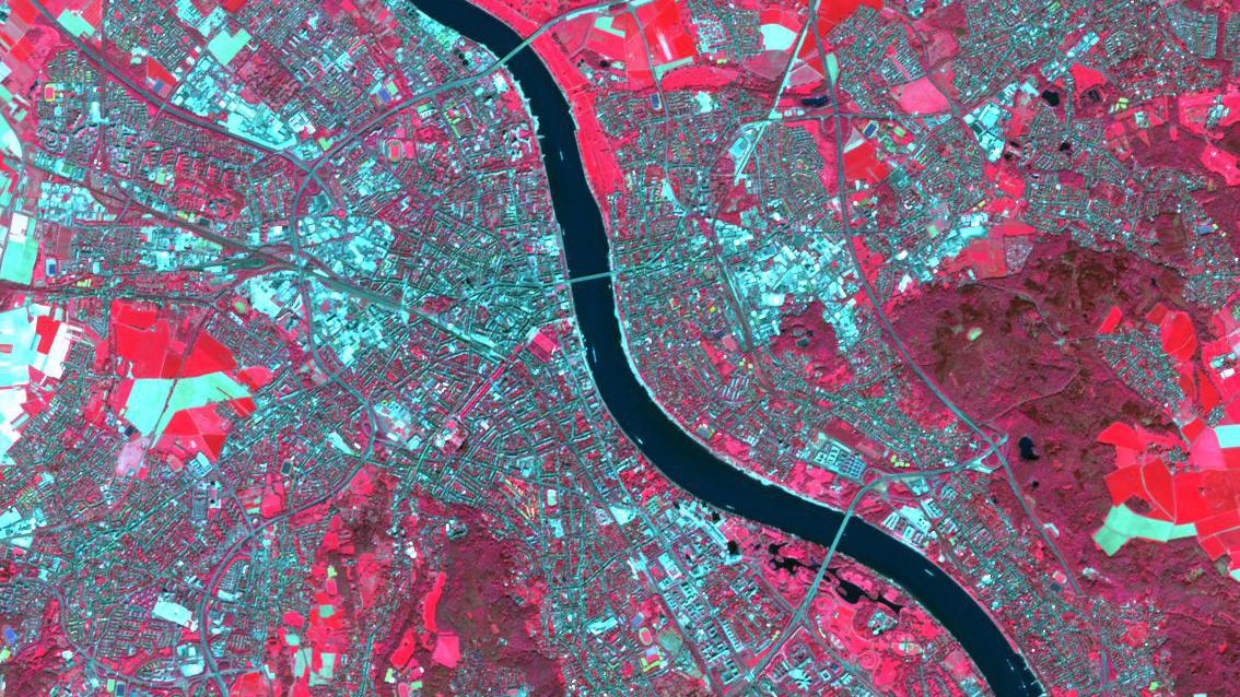
This false-colour image shows part of the urban area of the German federal city of Bonn. The image was created using data acquired by Sentinel satellites operated by the European Earth observation programme Copernicus. False colour images are used to show information about certain surface features in more detail. In this case, vegetation is shown in red to highlight it.